PROMOTIONS AND OFFERS
Discounts on multiple DJI, EMLID and Pix4D products
Sale! Secure payment
 Shipping in 24/48h
 Technical advice
 Secure payment
 Shipping in 24/48h
 Technical advice
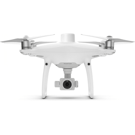
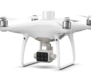
DJI Phantom 4 RTK
Original price was: 4.710,00€.1.850,00€Current price is: 1.850,00€. price without VAT (-60.7%)
Out of stock
DJI Phantom 4 RTK equipment for topographic use
You may also like…
The Phantom 4 RTK provides its users with information with a centimeter level of accuracy with fewer ground control points than previously needed.
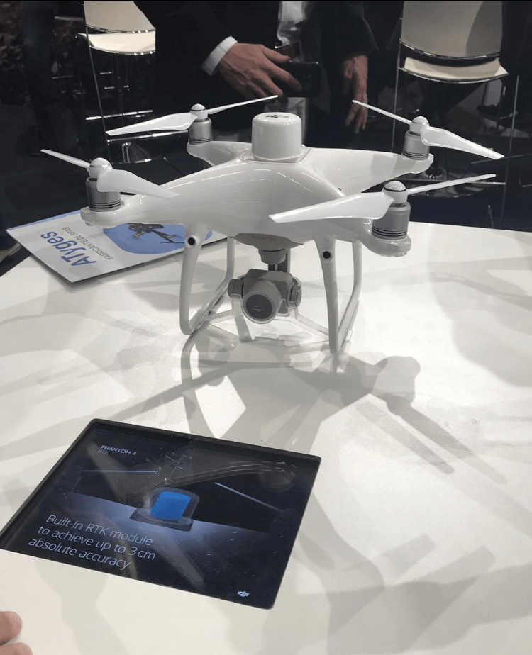
Positioning with centimeter accuracy
The Phantom 4 RTK includes a fully integrated RTK module that provides real-time centimetric position information for absolute accuracy in image meta-information. Right next to the RTK receiver is a redundant GNSS module, allowing you to maintain flight stability in places with poor signal reception, such as densely populated cities. The combination of these two modules allows the Phantom 4 RTK to optimize flight safety while ensuring that as accurate information as possible is achieved for complex prospecting, mapping and inspection tasks.
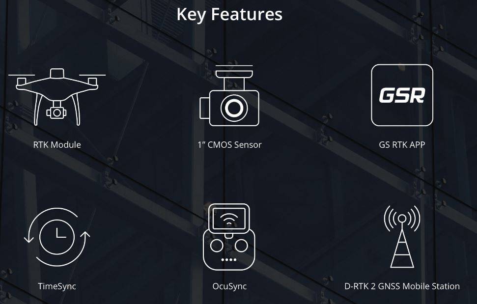
The Phantom 4 RTK adapts to any workflow. You can connect your positioning system to the D-RTK 2 mobile station, to NTRIP (Network Transport of RTCM via Internet Protocol) via a 4G accessory or a local Wi-Fi network, or store satellite information for use in PPK (Cinematic Postprocessing).
Get accurate data with TimeSync
The new TimeSync system has been created to continuously synchronize the flight controller, camera and RTK module, to take full advantage of the Phantom 4 RTK positioning modules. In addition, TimeSync ensures that all photos will use the most accurate meta-information and secures positioning data to the center of the CMOS – optimizing the results of photogrammetric methods and allowing the image to achieve a level of accuracy centimeter.
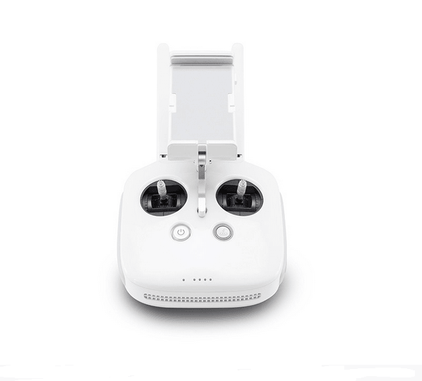
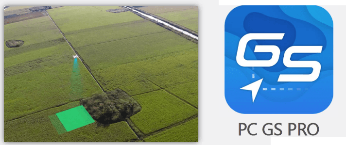
Dedicated flight planning app
The Phantom 4 RTK adapts to any workflow. You can connect your positioning system to the D-RTK 2 mobile station, to NTRIP (Network Transport of RTCM via Internet Protocol) via a 4G accessory or a local Wi-Fi network, or store satellite information for use in PPK (Cinematic Postprocessing).
