PROMOTIONS AND OFFERS
Discounts on multiple DJI, EMLID and Pix4D products
 Secure payment
 Shipping in 24/48h
 Technical advice
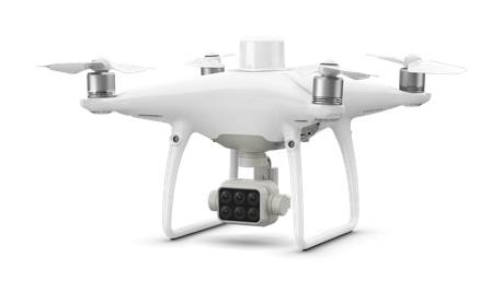
DJI Phantom 4 Multispectral
4.900,00€ price without VAT
Out of stock
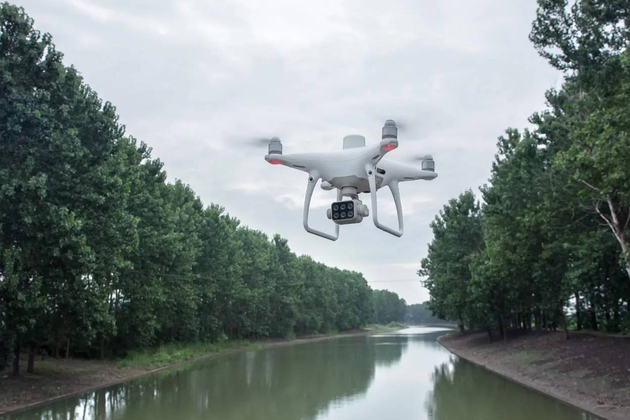
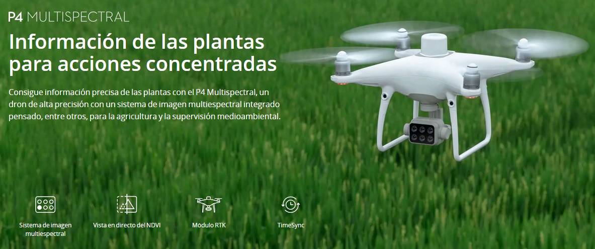
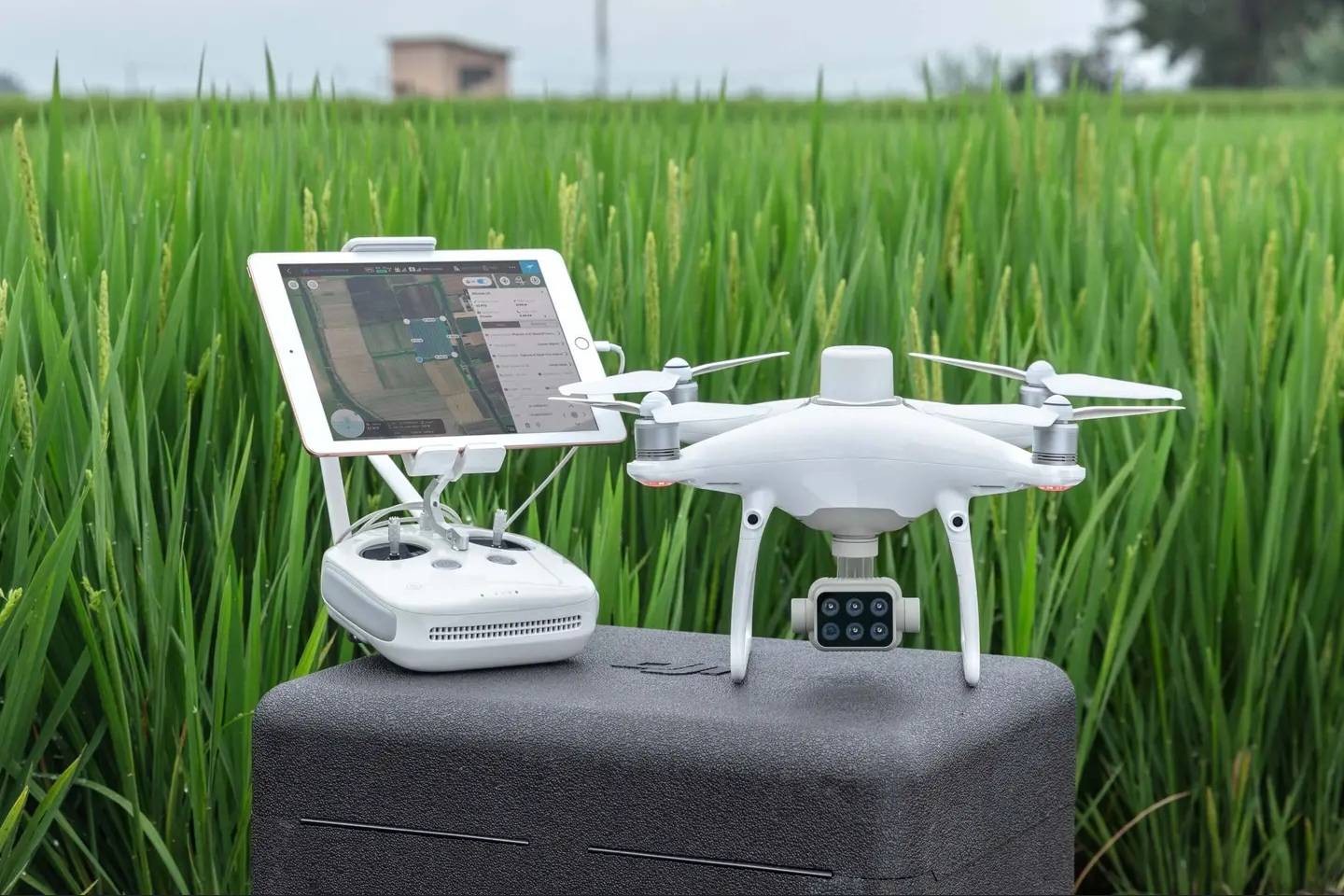
DJI Phantom 4 Multispectral equipment for use in precision agriculture and environmental monitoring
You may also like…
-

Pix4D mapper – Monthly License
2.900,00€ price without VAT Add to cart -
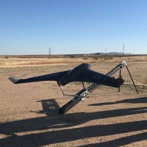
ATyges FV1
Read more -
Sale!

PIX4D Fields- Precision Agriculture
From: 260,00€ Select options This product has multiple variants. The options may be chosen on the product page -
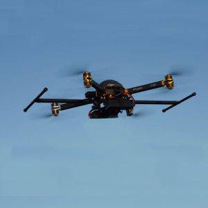
ATyges FV8 and Topodron RTK-PPK / Thermodron / Agrodron Systems
Read more
All the information on the ground
Know immediately the health of plants
The P4 Multispectral unifies the process of capturing the information needed to know the status of crops and to help manage vegetation. DJI has equipped this platform with the same powerful performance that characterizes it, including a maximum flight time of 27 minutes and a transmission range of 7 km with the OcuSync system.
Look below the surface
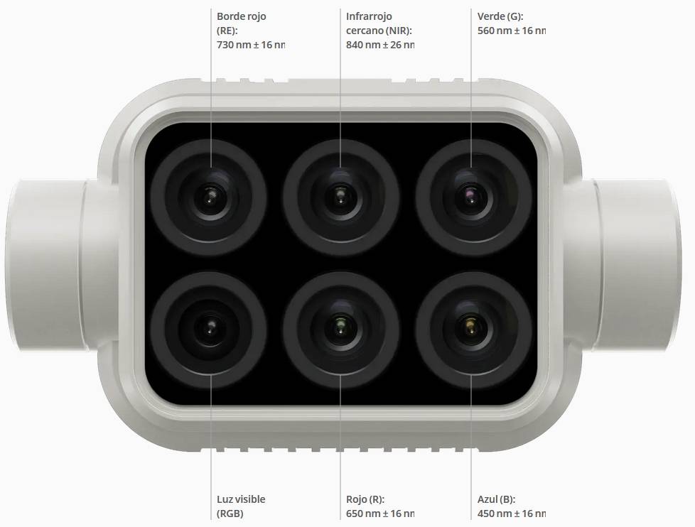
Image collection for agriculture is simpler and more efficient than ever. The new stabilized image system collects complete data sets without the need for additional accessories. Access the information collected by 1 RGB camera and a 5-camera multispectral set covering the Blue, Green, Red, Red Edge and Near Infrared bands, all with a 2MP global shutter and three-axis stabilizer.
Accurate results with a sunlight sensor
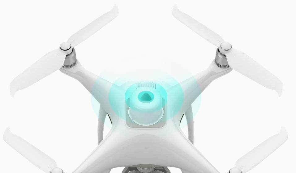
An integrated sunlight sensor above the drone captures solar irradiance and uses it to maximize the accuracy and consistency of data collection at different times of the day. This information, together with the post-processed data, allows to obtain the most accurate NDVI.
Meaningful information at your disposal
View both RGB and NDVI video
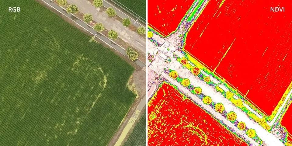
Aerial image alone is not enough for farmers who want more information. You can switch between the Standard Difference Vegetation Index (NDVI) preliminary analysis and RGB video to immediately detect where action is needed and make the necessary action decisions quickly.
Centimeter accuracy
DJI’s TimeSync system includes real-time positioning information with centimeter accuracy of images captured with all six cameras. This system is constantly synchronized with the flight controller, RGB and NB cameras and RTK module. This ensures that all images incorporate the most accurate meta-information using the center of the CMOS sensor as the center of positioning reference. All cameras have undergone a rigorous calibration process in which radial and tangential distortions of the lens are measured. These measurements are stored in the meta-information of each image so that the post-processing software can make custom adjustments for each user.
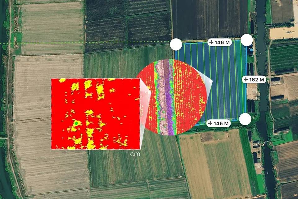
Compatible with D-RTK 2 and NTRIP mobile station
You can increase the positioning accuracy of the P4 Multspectral by connecting it to the D-RTK 2 mobile station, a Network Transport of RTCM (Network Transport of RTCM via Internet Protocol) via a 4G accessory or a local Wi-Fi network, or store satellite information for ppk (Kinematic Post-Processing).
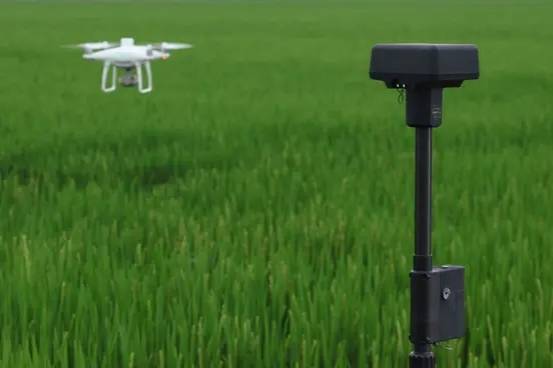
The start of smart farming missions
Flight planning
Plan flights, run automatic missions, and manage flight data using GS Pro, DJI’s leading flight planning app for iOS.
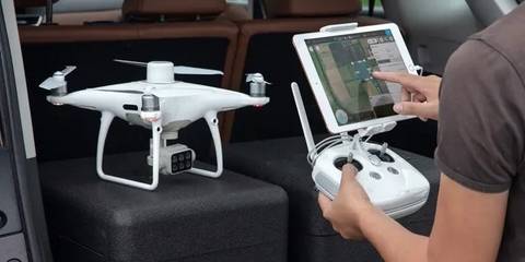
Image capture
Capture multispectral images of a wide area efficiently with the P4 Multispectral and get an overview of problem areas.
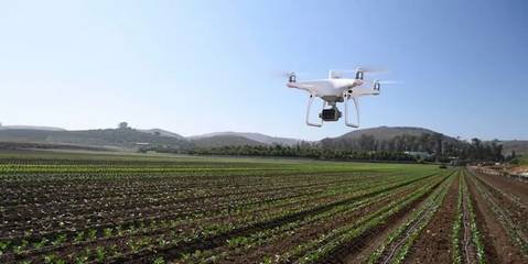
Data analysis
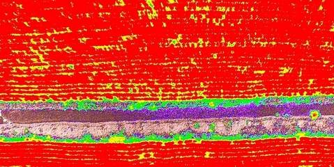
Easily view and process aerial information using plant-specific measures and parameters. Keeping plants healthy has never been easier.
Informed decisions
It carries out concentrated treatments in areas that need attention thanks to the precise information obtained by drones.
Uses
Precision agriculture
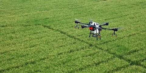
Multispectral imaging can be helpful during all phases of cultivation for agricultural professionals by providing information from the entire electromagnetic spectrum that would otherwise be invisible to the human eye. Farmers will be able to make informed and timely decisions by having access to this information, as well as vegetation indices derived from it, such as NDRE and NDVI. The result is a better crop treatment strategy, cost reduction, resource savings and crop maximisation.
Environmental monitoring
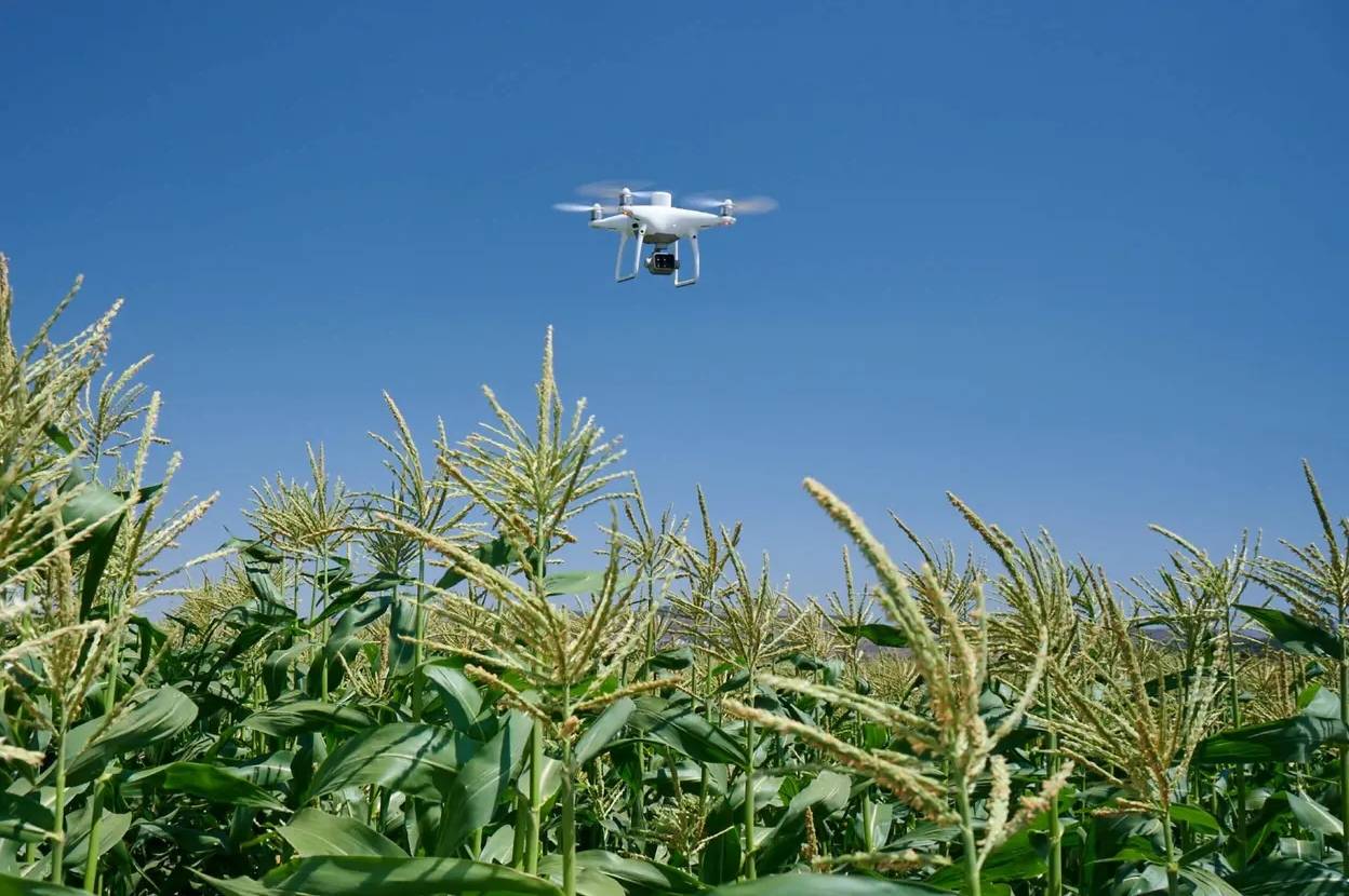
Routine plant inspection and maintenance tasks can be performed with greater automation and efficiency with the P4 Multispectral. Leverage multispectral useful knowledge to control forest health, measure biomass, map coastlines, or manage river vegetation while protecting ecosystems.
