
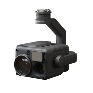
Zenmuse H20T
10.020,00€ price without VAT
Out of stock
Descripción del producto
Matrice 300 RTK equipment and its cameras are not available for automatic sale over the internet by DJI brand criteria.
Request a quote using this form and we will send you a personalized offer
We improve your budget: Do not hesitate to contact us!
DJI’s Most Advanced Multi-Sensor Tool for Equipment Matrice 300 RTK . Integrates RGB sensor, radiometric thermographic camera and laser rangefinder.
All Zenmuse H20T cameras sold by ATyges incorporate ATygeo Thermal module in a promotional way to generate high precision radiometric TIFFs to perform radiometric thermal orthomosaics.


Zenmuse H20T
DJI’s Most Advanced Multi-Sensor Tool for Equipment Matrice 300 RTK
“H” for hybrid
This multisensor tool transforms what we understand by operational efficiency into missions. Its integrated design and unique intelligence offer unprecedented imaging possibilities for different business uses.
 20 MP zoom camera
 Radiometric thermal camera
 Laser range finder
 IP44 protection
 Operating temperature
–20 to 50 ° C
 Active image stabilization
and EIS
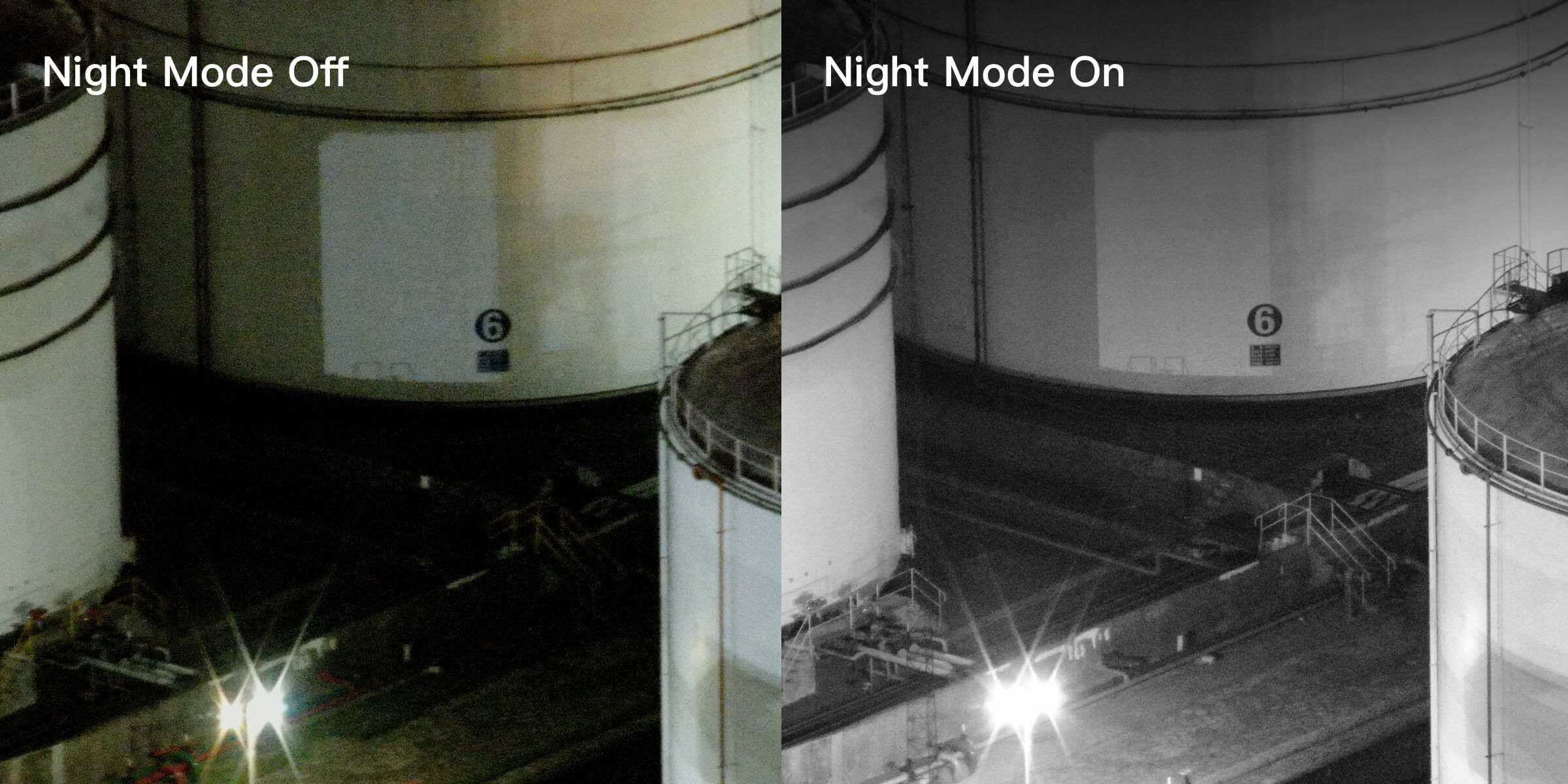
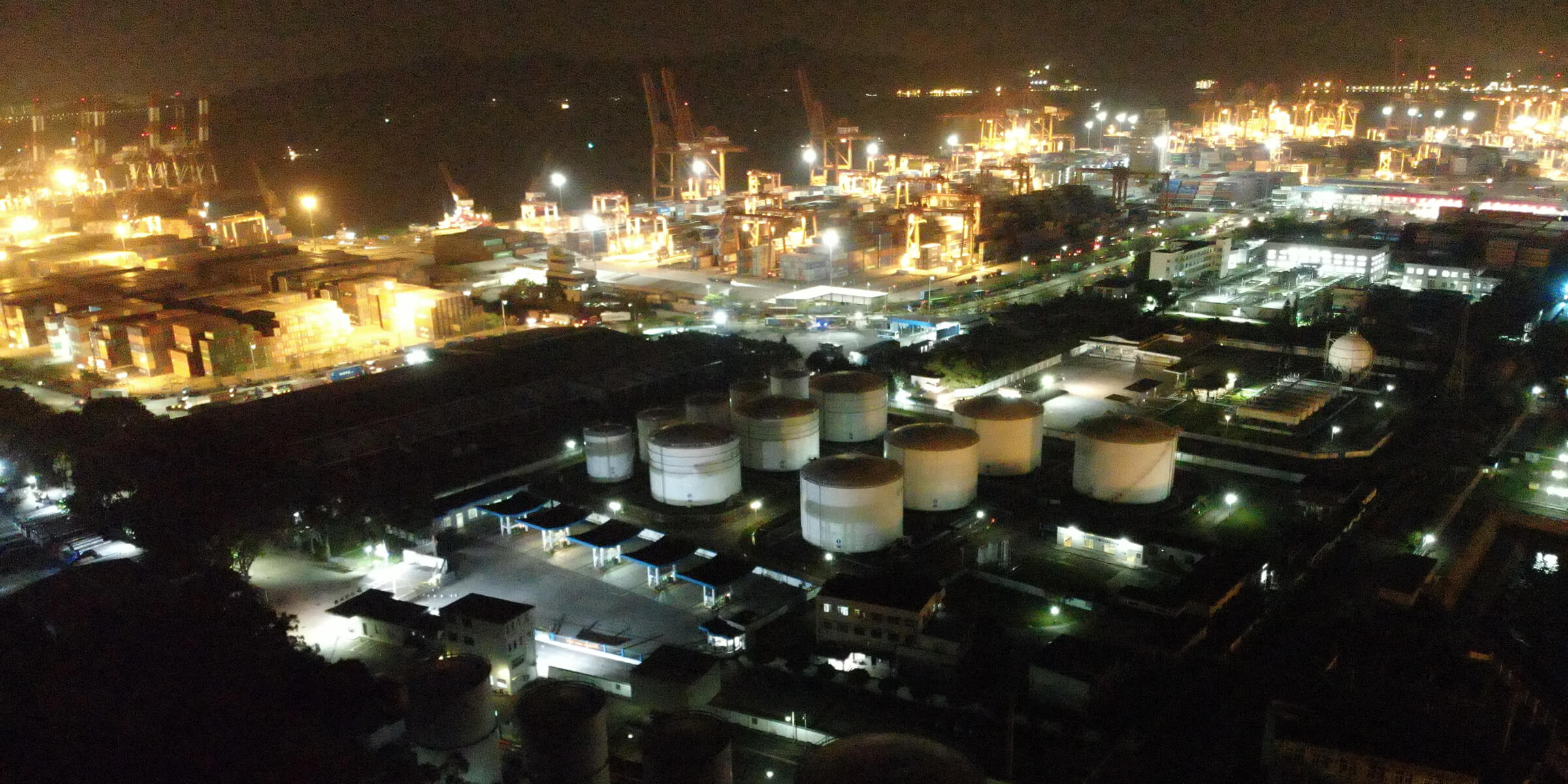
 Night scene mode
All sensors
what do you need in one
Capture everything, both up close and far, in real or thermal colors. Measure the distance to which an object is located up to 1200 m thanks to the integrated laser range finder (LRS). This powerful built-in charge unleashes advanced smart capabilities for DJI industrial drone rigs.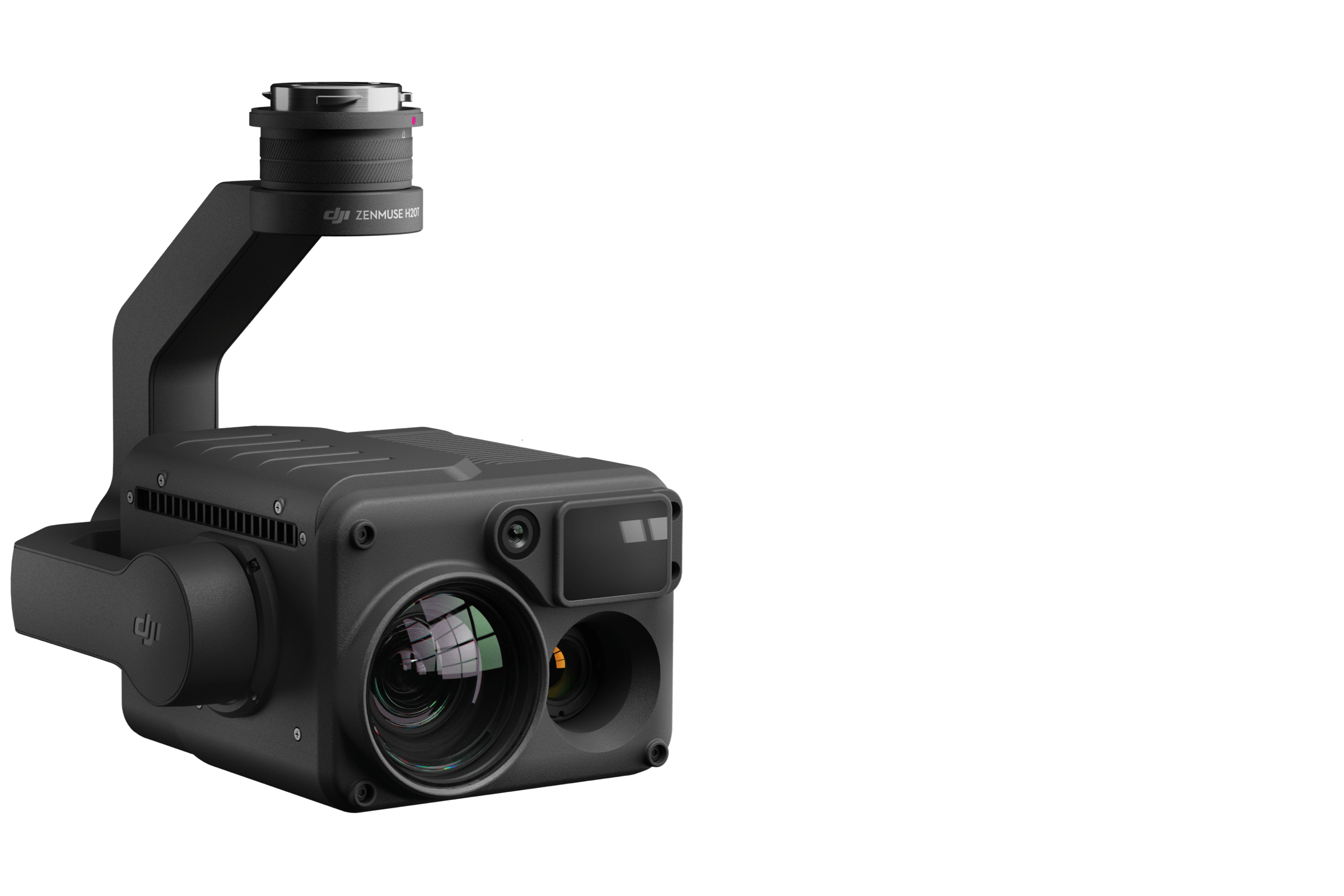
Powerful zoom camera
- 23 × hybrid optical zoom, max. 200 ×
- 1 / 1.7 ”20MP CMOS sensor
- Video resolution: 4K / 30fps
Everything under control. Wide angle camera
- Equivalent focal length: 24mm,
- DFOV: 82.9 °
- 1 / 2.3 ”12MP CMOS sensor
Accurate distance data. Laser range finder
- Range: 3-1200m
Accuracy: ± (0.2m + D × 0.15%)
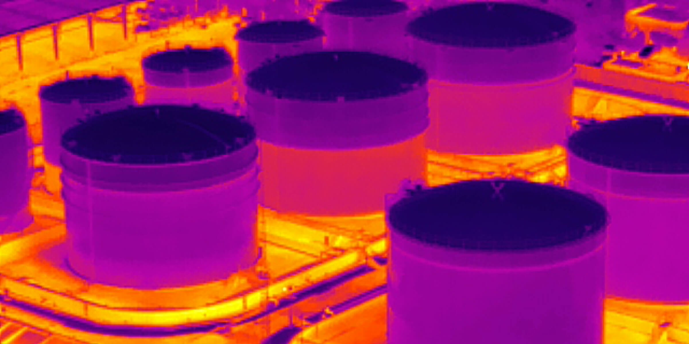
See the invisible. Radiometric thermal camera
- DFOV: 40.6 °
- Resolution: 640 × 512
- Frame rate: 30 fps
- Thermal sensitivity: ≤50mk at f1.0 (NEDT)
Comprehensive solution. Multi-sensor loads
No matter the place or time of the mission, get the full perspective and don’t miss any details.
 |  |  | |
Zoom | Night scene | Wide angle | Thermal imaging |
Comprehensive solution. Multi-sensor loads
No matter the place or time of the mission, get the full perspective and don’t miss any details.
Comprehensive user interface
The new integrated user interface allows you to quickly switch between a zoom, wide angle or thermal view, as well as preview the FOV zoom in the thermal or wide angle camera view.
Artificial intelligence targeting (AI Spot-Check)
Automate routine inspections and capture consistent results at all times. The artificial intelligence Airborne recognizes the target of interest and identifies it in subsequent automated missions to ensure consistent framing.
High-Res Grid Photo
Frame a specific area in the wide-angle camera view, and the zoom camera will automatically capture a set of 20MP images of that area.
These images are then stored together with a general image for a more detailed display.
Mark (Pin Point)
Mark an object on the camera or on the v One-touch map display . Advanced data fusion algorithms will automatically obtain your coordinates and project them to all camera views as an AR icon. The target location will be automatically shared with another remote control or with online platforms, such as DJI FlightHub
Smart Track
Identify and track moving targets like people, vehicles, or boats with the Smart Track feature. He automatic zoom It is applied for stable tracking and viewing. The dynamic target location is continuously fetched and shared with another remote control or DJI FlightHub
Immediate display of temperature. Accurate temperature measurement
Get an accurate measurement of the temperature of a site or asset from the air to avoid any type of risk.
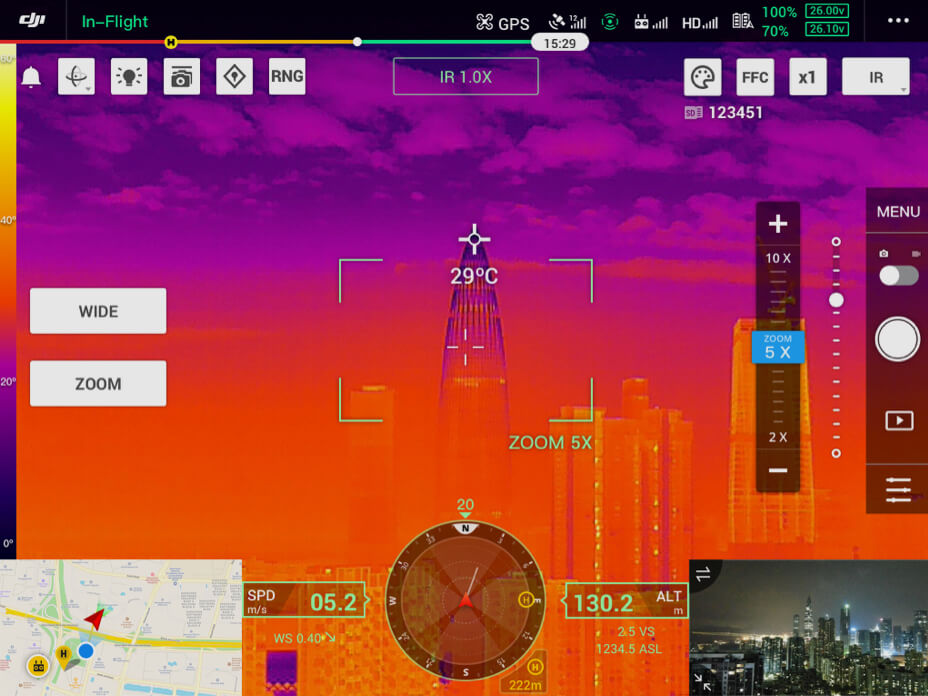 | 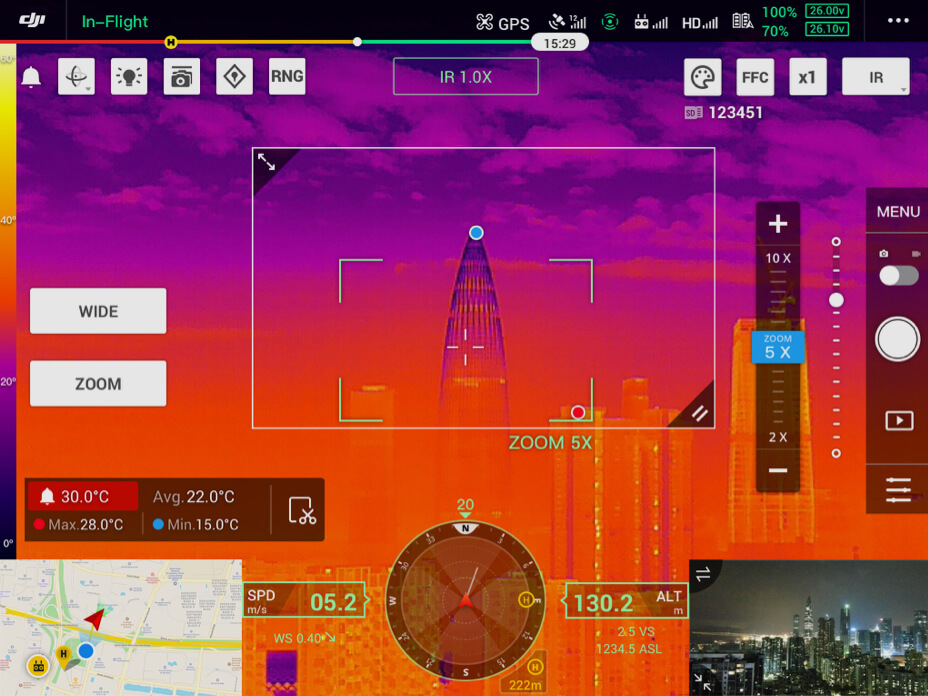 |
Spot meter | Measurement in area |
| Tap a spot to get a real-time reading of the surface temperature. | Select an area to view the highest, lowest and average temperatures. |
PRODUCTOS QUE TE PUEDEN INTERESAR

Matrice 4T & PIX4Dmapper – Promo Kit
Original price was: 8.601,65€.6.300,00€Current price is: 6.300,00€. price without VAT (-26.8%)
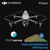
Matrice 4E & PIX4Dsurvey – Promo Kit
Original price was: 5.800,00€.4.230,00€Current price is: 4.230,00€. price without VAT (-27.1%)
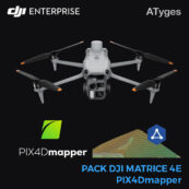
Matrice 4E & PIX4Dmapper – Promo Kit
Original price was: 6.700,00€.4.680,00€Current price is: 4.680,00€. price without VAT (-30.1%)
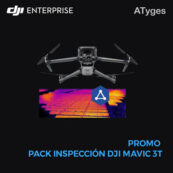
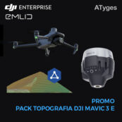
DJI Mavic 3T – Pack Inspections
Original price was: 5.546,20€.4.660,00€Current price is: 4.660,00€. price without VAT (-16%)
DJI Mavic 3E – Full Survey Pack
Original price was: 6.445,20€.5.955,00€Current price is: 5.955,00€. price without VAT (-7.6%)
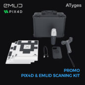
Pack PIXDmatic+ PIX4Dsurvey + PIX4Dcloud Advance
From: 5.385,00€
Select options
This product has multiple variants. The options may be chosen on the product page
Pack PIX4Dmapper + PIX4Dcloud Advance
From: 4.120,00€
Select options
This product has multiple variants. The options may be chosen on the product page