Excellent software for processing drone images, excellent communication, nice people! Thank you so much. Highly recommend their software!
Publicado en
Razib Ahmed
Great team with experienced professionals. I experienced quick response from the technical support team eventhough I was not their customer. Thank you Fede A and your team.
Publicado en
Esteban Laffitte
Gran equipo de profesionales, siempre dispuestos a aclarar cualquier duda tanto en la pre como en la post-venta. Enhorabuena por el servicio qué ofreceis y la calidad de los productos que vendeis.
Publicado en
JOSÉ ANTONIO MARTÍNEZ SÁNCHEZ
He colaborado con ellos, son muy profesionales y muy recomendables.
Publicado en
Jose Maria Marin Poley
Hasta ahora todo correcto y rápido.
Publicado en
Maxi Diaz
La atención al cliente ha sido excelente. Envío a Canarias sin complicación. Recomendado.
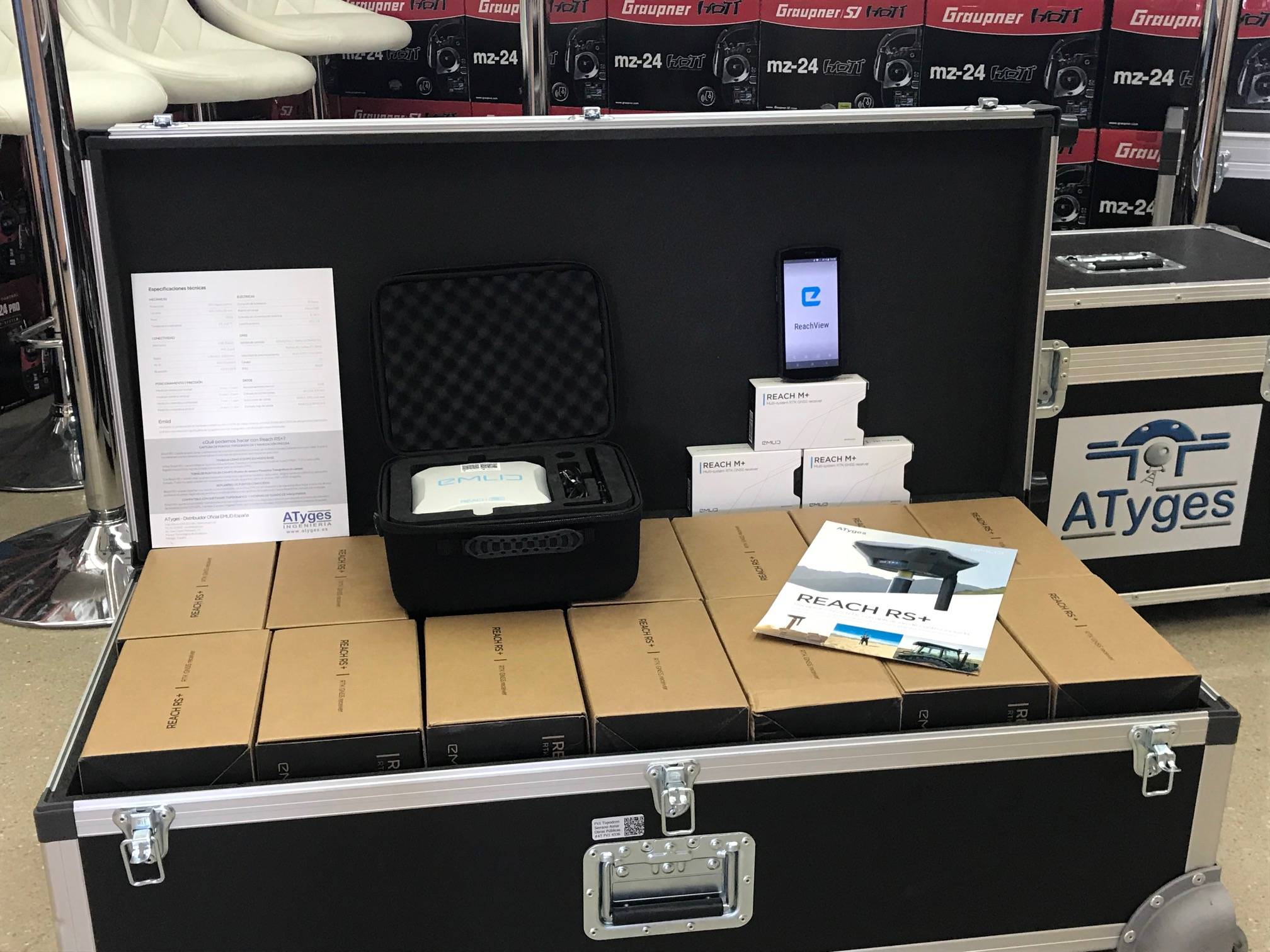
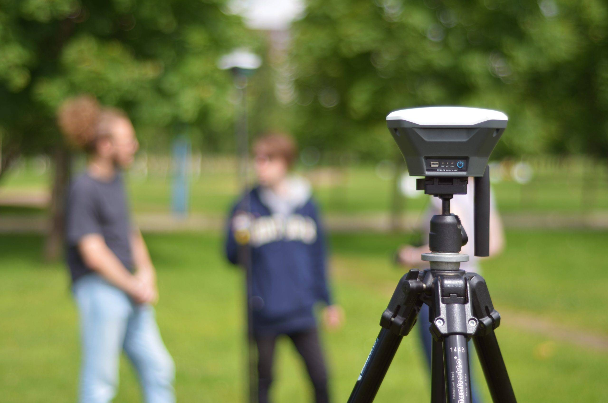
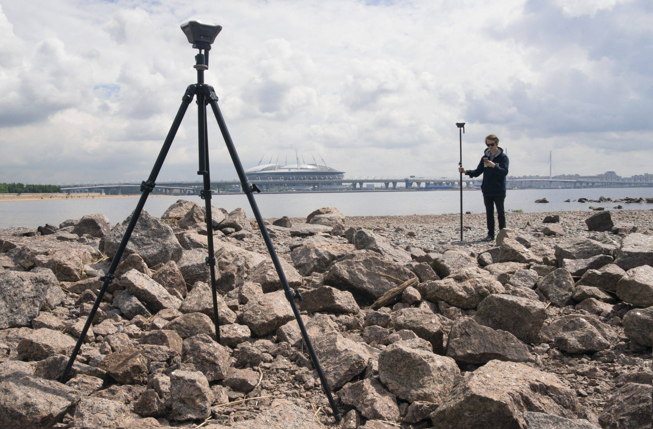
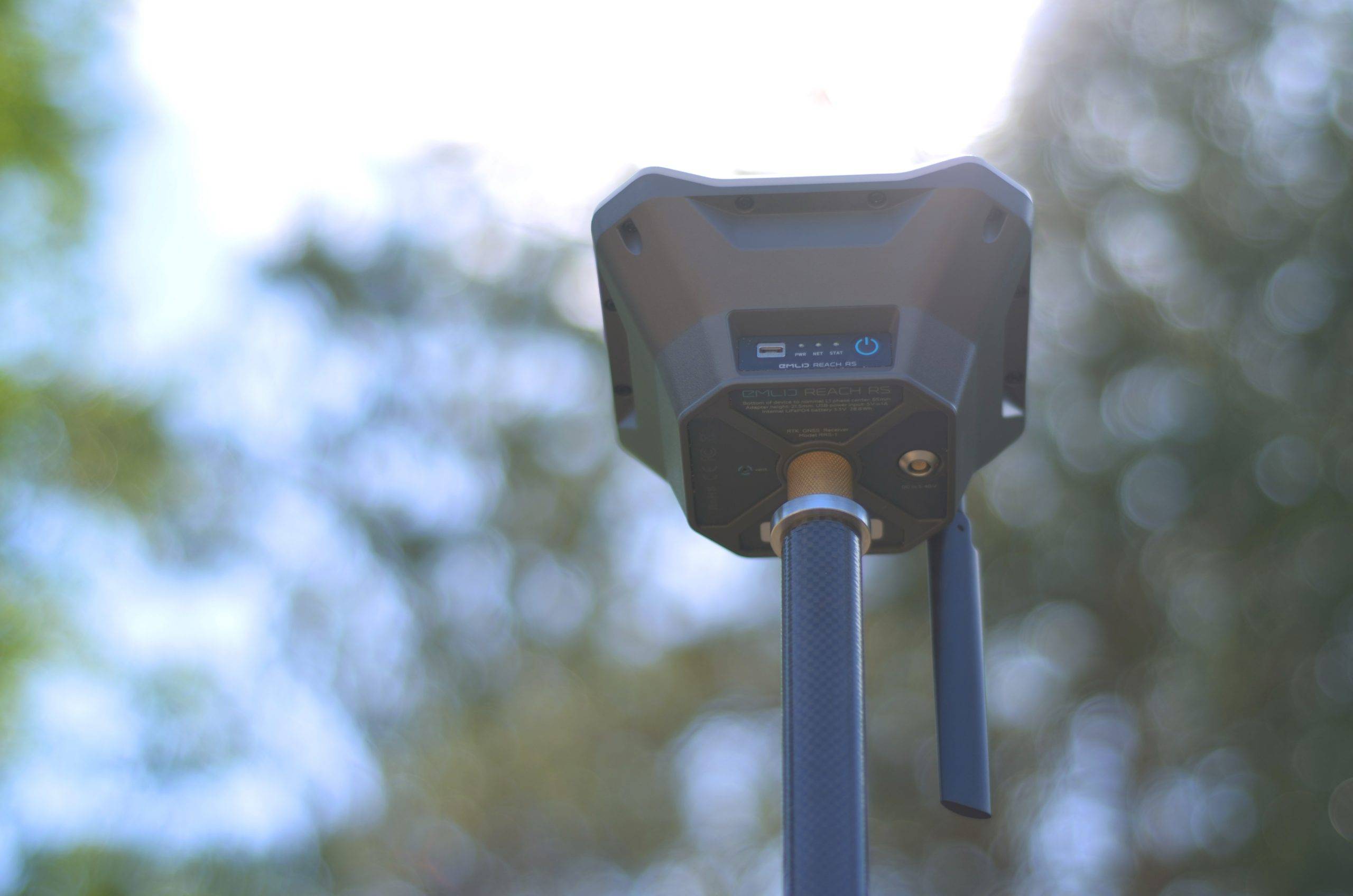
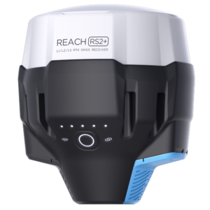
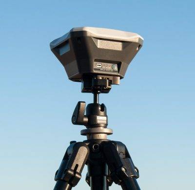
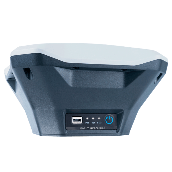
RTK Reach RS+ GPS is a single-frequency GNSS receiver with included control application for surveys, point-taking and navigation with centimeter accuracy.
Taking points of unique elements in the field (Dianas, GCP, Support, etc.) SIMPLY AND ACCURATELY WITH THE RTK Reach RS+ GPS
With Reach RS+ and its native application it is possible to create point-taking projects in the field. When working in the field each point can be assigned a custom name and offset. The results can be downloaded from the project list and exported to multiple formats such as DXF (Autocad, MicroStation, Standar CAD), CSV, GeoJSon and Shapefile (ESRI).
It is also possible to connect the Reach RS+ GPS to classic surveying software used in external notebooks thanks to its easy connectivity.
Rethinking points
The Point Stakeout or Rethinkout feature allows you to import a list of points to rethink them in the field. The native app provides instructions for reaching them. Imports traditional formats (DXF, GeoJSON, and Shapefile).
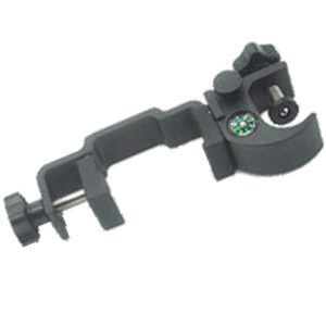
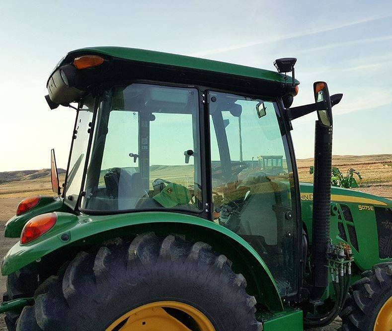
Machinery guidance
Reach RS+ provides precise coordinates via Wi-Fi and Bluetooh connectivity to your tablet with a light bar navigation app. The RS232 communication interface allows you to connect the directmene device to a self-guided system.
The positioning solution formats used are NMEA, ERB, and plain text. It’s device supports third-party applications like MachineryGuide, AgriBus-Navi, Efarmer and Agripilot.
ReachView 3: The free app for point capture and stakeout
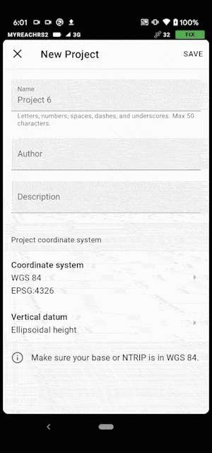
Now with ReachView 3 it is easier and more intuitive to capture coordinates. Using the EPSG and IGN registers it supports more than a thousand coordinate systems from all over the world to be able to capture points in multiple reference systems.
Set the referral system for your work
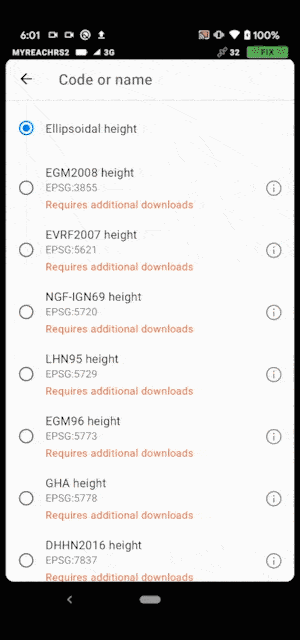
Furthermore, ReachView 3 also allows you to work with different geoid models.
Download multiple geoid models
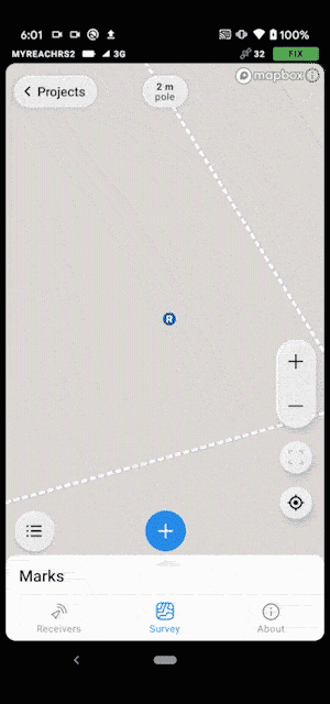
ReachView 3 allows you to work with projects with thousands of points captured, allowing fluid navigation through the project data thanks to its new, more intuitive user interface and with greater capabilities.
Complex project management with multiple points
The point capture and stakeout tools now have expanded features and are more intuitive to use. Time averaging fields (epochs), automatic names and point description have been added in the point capture.
Point capture in ReachView 3
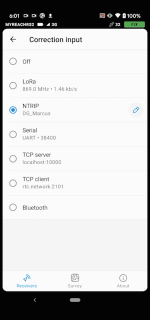
Manage multiple NTRIP profiles now from ReachView 3. Configure multiple NTRIP profiles with different access data and settings, and easily switch correction sources from within the ReachView 3 application.
Manage multiple NTRIP profiles
Reference station. Base Mode
Use Reach RS+ to set up your own base station. Transfer corrections over the network into NTRIP/TCP or radio link. The logs obtained by the base are stored on the computer for download by post-processing later. Records are saved and exported in RTCM3 and RINEX format.
Rover Mode
Use Reach RS+ in Rover mode for data collection. The equipment receives correction data via the Internet from the local NTRIP provider (IGN, ARAGEA, ERVA, ITACYL, RAP, REGAM, REP, etc.). No additional devices are required to a conventional Smartphone or tablet with Windows, Android, iOS or Linux operating systems.
Supported registry fixes and formats are RTCM3, RINEX, and VRS supported.
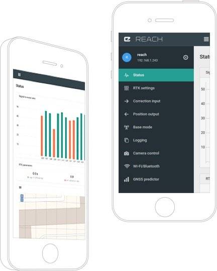
Native App ReachView
With the free native ReachView app, you can control and configure your device. This tool is available in iOS, Windows, Android and Linux formats.
Help with setup
Easily configure the remediation input, solution output, update rate, and constellations that are in use. Manage Wi-Fi and Bluetooth connections.
Health monitoring and control
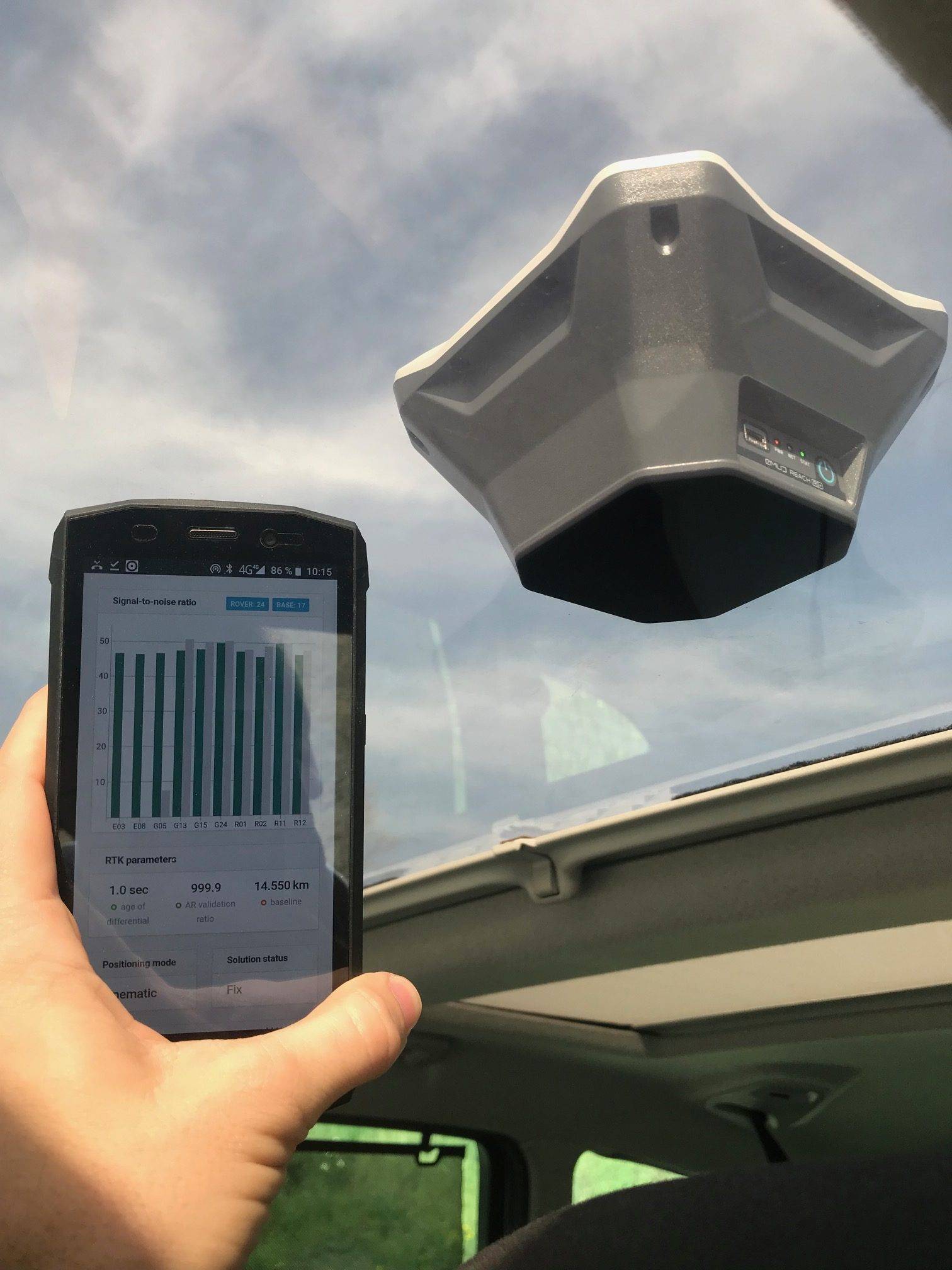
ReachView shows the current strength of the satellite signal, the visibility forecast of the constellation, its location on a map, and more.
Inspection tooling
Built-in tools for data collection. Record geolocations with specific accuracy. Import and export in industry standard formats.
Records management
Logs are automatically written to internal memory. View a list of records and download them using the ReachView app.
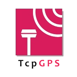
You can use your RTK Reach RS2 GPS with third-party professional survey apps
With the free native Reach View app you can fully control your GPS Reach, but if you want you can use traditional surveying software and not modify your workflow.
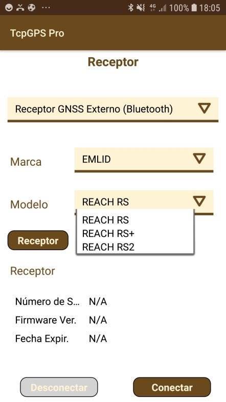
GNSS Reach RS+ recptors are compatible with third-party professional survey ingapplications such as TCP-GPS,TopView, Carlson SurvCE/SurvPC, QGIS, Magnet Fields, etc. If you already have these software with your survey GPS take advantage of your investment or ask us for a quote if you wish to purchase topographic software optionally.
Example TCP-GPS survey software adapted for EMLID equipment
See Official Product Forum: EMLID Forum (Castellano)
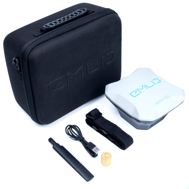
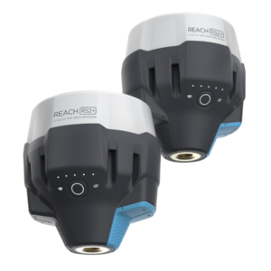
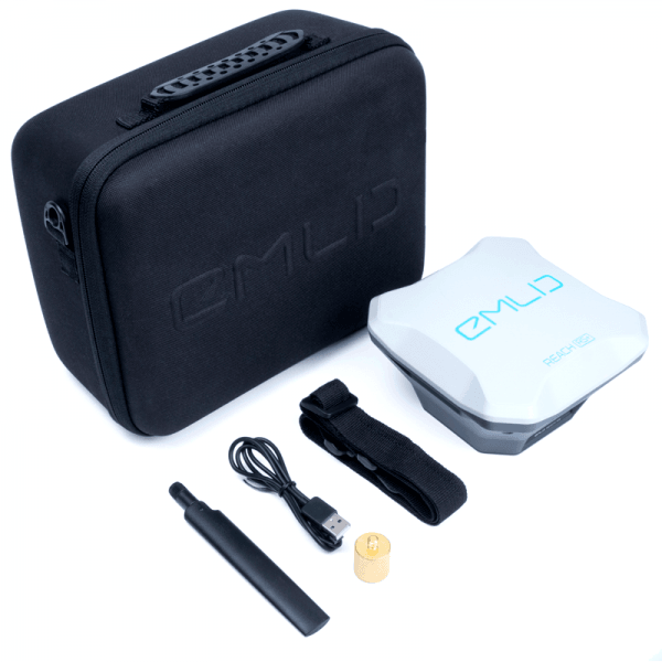
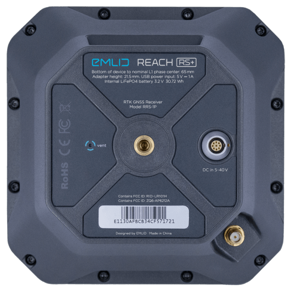
What’s included in the RTK Reach RS+ GPS package:
Gnss
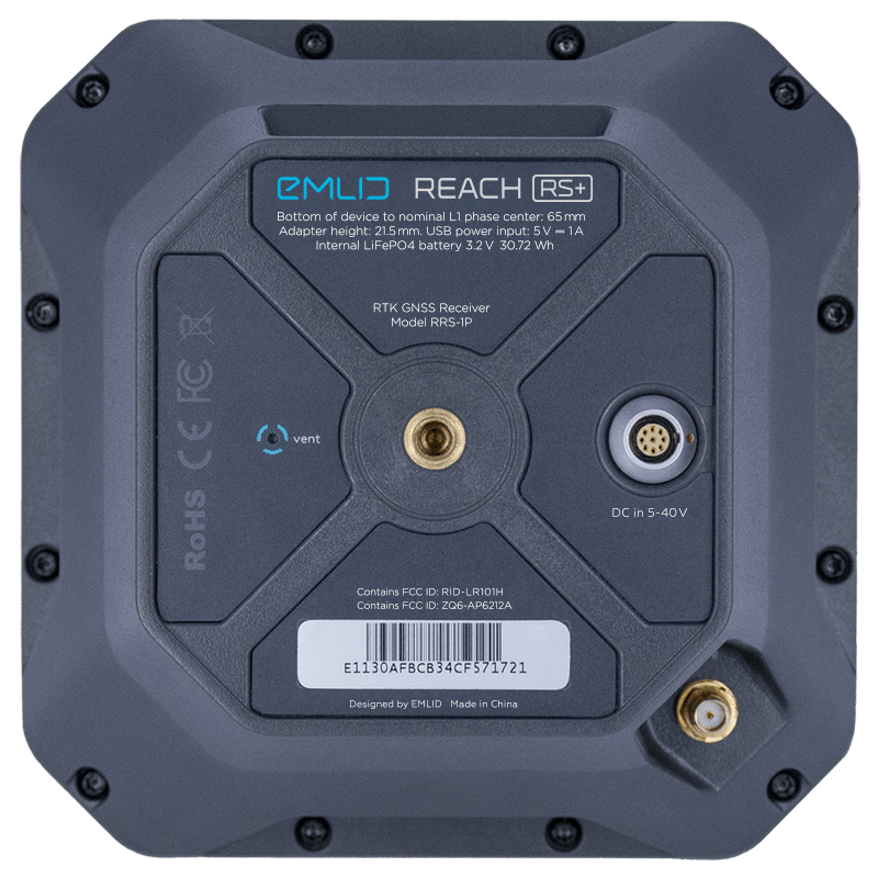
GPS, GLONASS, BeiDou, Galileo, QZSS and SBAS
Long-range radius
LoRa 868/915 MHz for reliable correction over distances up to 8 km
Wi-Fi and Bluetooth
To connect to your device
8 GB of storage
For records and solution tracks.
30-hour battery
LiFePo4 battery, USB charging, 6-40V external input
Due to current government measures, we are teleworking. Therefore, we would ask you to please write us an e-mail at store@atyges.es to tell us about your doubts. We will reply to you immediately.
Para ofrecer las mejores experiencias, utilizamos tecnologías como las cookies para almacenar y/o acceder a la información del dispositivo. El consentimiento de estas tecnologías nos permitirá procesar datos como el comportamiento de navegación o las identificaciones únicas en este sitio. No consentir o retirar el consentimiento, puede afectar negativamente a ciertas características y funciones.
Funcional
Always active
El almacenamiento o acceso técnico es estrictamente necesario para el propósito legítimo de permitir el uso de un servicio específico explícitamente solicitado por el abonado o usuario, o con el único propósito de llevar a cabo la transmisión de una comunicación a través de una red de comunicaciones electrónicas.
Preferencias
El almacenamiento o acceso técnico es necesario para la finalidad legítima de almacenar preferencias no solicitadas por el abonado o usuario.
Estadísticas
El almacenamiento o acceso técnico que es utilizado exclusivamente con fines estadísticos.El almacenamiento o acceso técnico que se utiliza exclusivamente con fines estadísticos anónimos. Sin un requerimiento, el cumplimiento voluntario por parte de tu Proveedor de servicios de Internet, o los registros adicionales de un tercero, la información almacenada o recuperada sólo para este propósito no se puede utilizar para identificarte.
Marketing
El almacenamiento o acceso técnico es necesario para crear perfiles de usuario para enviar publicidad, o para rastrear al usuario en una web o en varias web con fines de marketing similares.


 Secure payment
 Shipping in 24/48h
 Technical advice