PROMOTIONS AND OFFERS
Discounts on multiple DJI, EMLID and Pix4D products
 Secure payment
 Shipping in 24/48h
 Technical advice
Pix4Dreact
From: 390,00€
Pix4Dreact
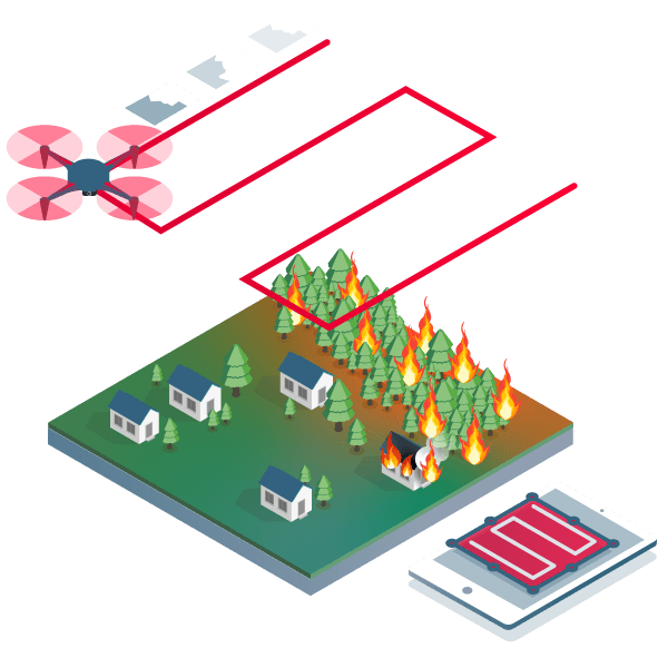
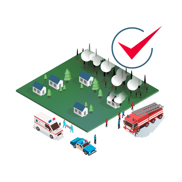
Fast 2D mapping for emergency management and public safety
Developed with the help of emergency response teams, Pix4Dreact is designed to be the optimal 2D fast mapping software for public safety and humanitarian professionals.
- Earthquakes
- Floods
- Fire
- Missing
- Tactical planning
- Humanitarian displacements
Pix4Dreact processing software.
Market-leading processing software for mapping and 2D modeling from images for use in emergencies and crisis situations.
Make important decisions faster, thanks to image information.
Mapping software immediately stomstarts the situation in the field to streamline decision-making and collaboration.
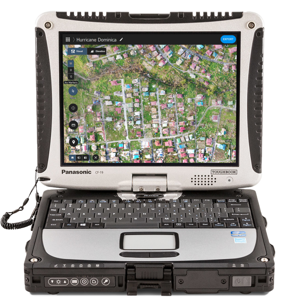
The map you need when you need it
Ensure that teams and decision makers have the timely and effective information needed to take action.
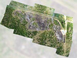
[columns] [span4]Generate 2D orthophotos
Mark and annotate images
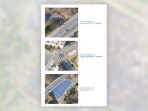
Create and share PDF documents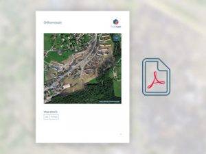
Optimized workflow
Capture
Fly your drone to capture the images you need. You can use any flight planner on the market or PIX4Dcapure, compatible with DJI and Parrot drones.
Processes
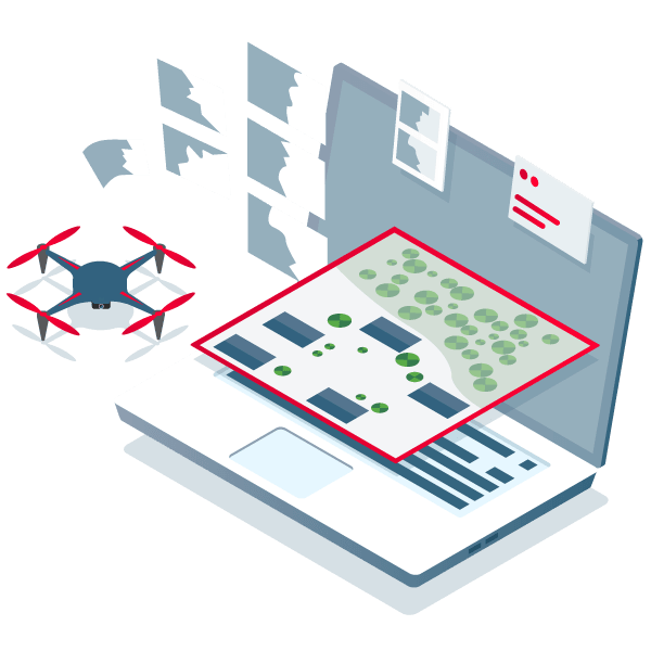
Combine and process your image sets in just a few minutes with Pix4Dreact. Create 2D measurable maps in the field or in the operations center.
Analyzes

With the tools included in Pix4Dreact you can identify, measure and point points of interest, marking and analyzing your maps while collecting data needed to take decisions and take action.
Share
 Export your maps to decision makers with sensitive information so they can determine the action plan in just a few seconds.
Share 2D orthomosaic maps and annotations as PDF reports that are light enough to be emailed. You can also locate and export a single aerial image from an area of interest.
Acts
 With accurate and fast maps, emergency teams can respond efficiently to a risky situation where time is extremely important.
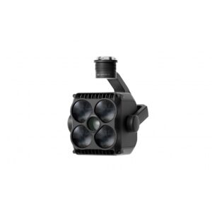
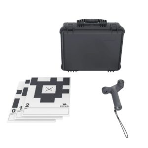
Related products