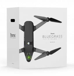
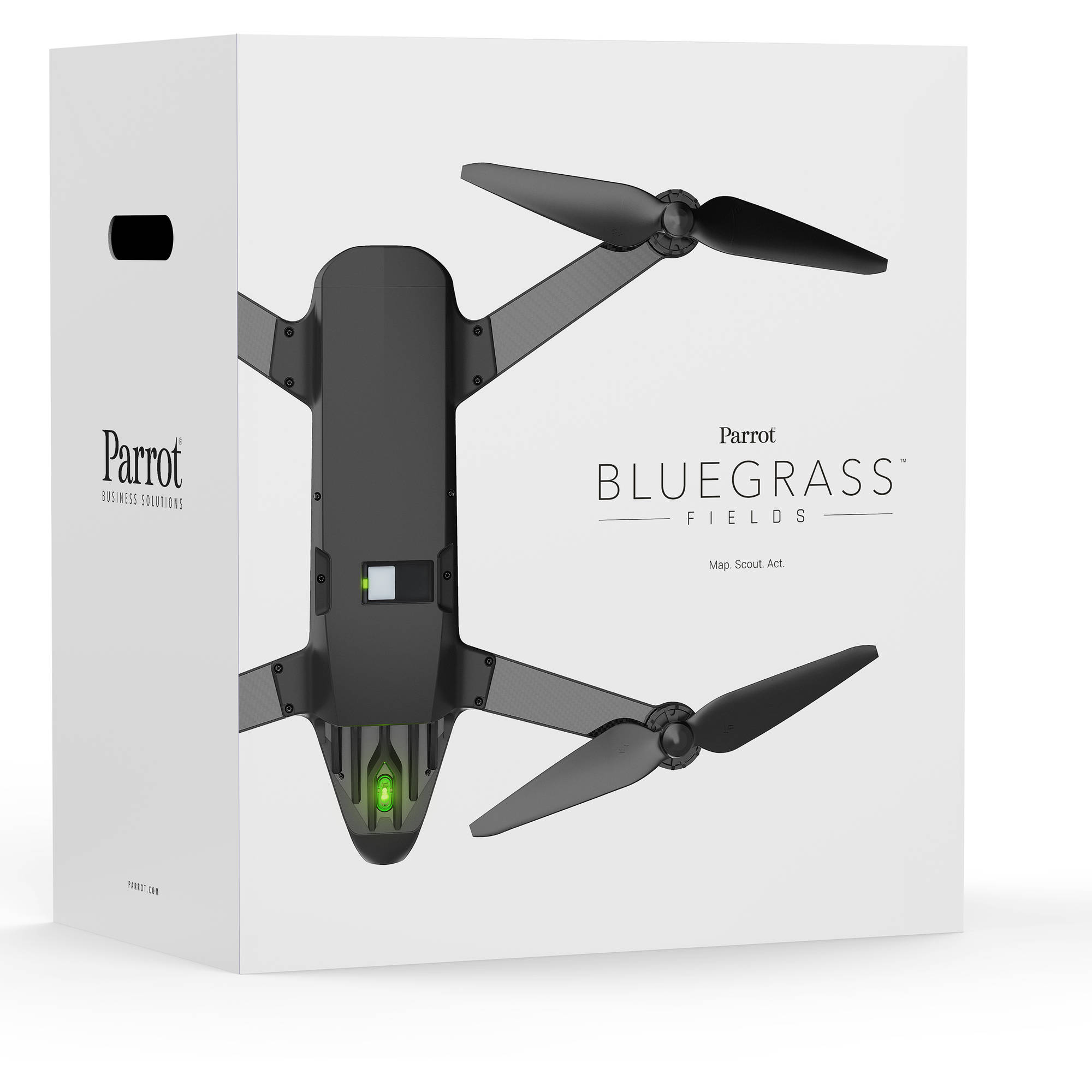
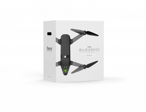
The complete drone solution for the agriculture sector
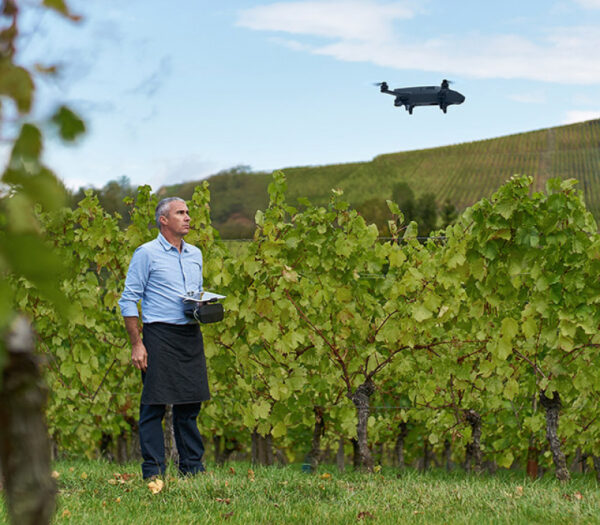
Parrot Bluegrass Fields is a complete, ready-to-fly drone solution suitable for the entire crop analysis workflow.
With Parrot Bluegrass Fields farmers have the information they need to maximize their yield and improve the quality of their crops.
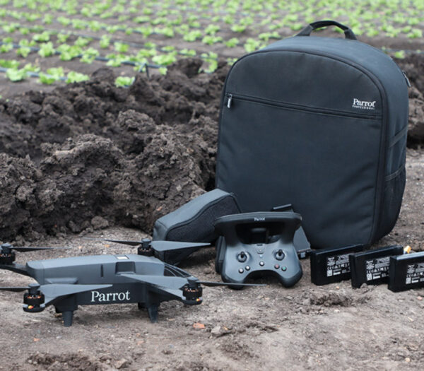
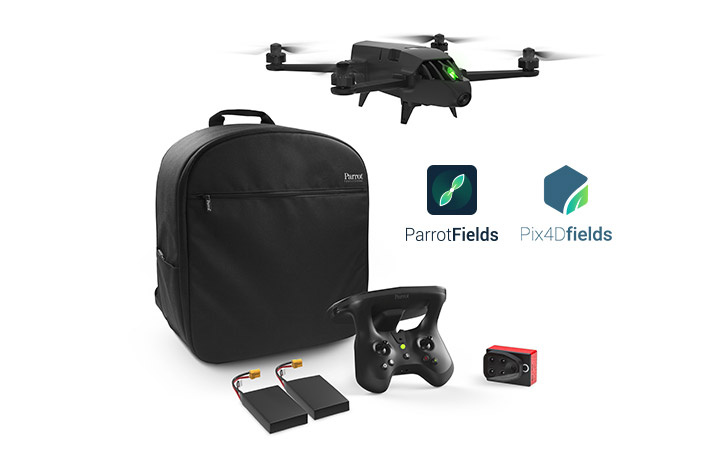
The Parrot Bluegrass Fields solution includes:
• The robust and easy-to-fly Parrot Bluegrass drone
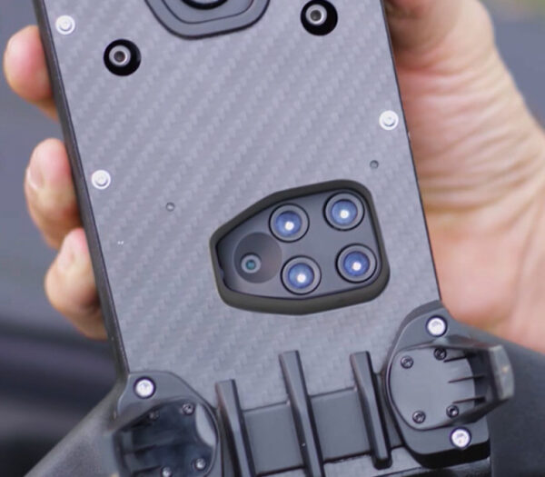
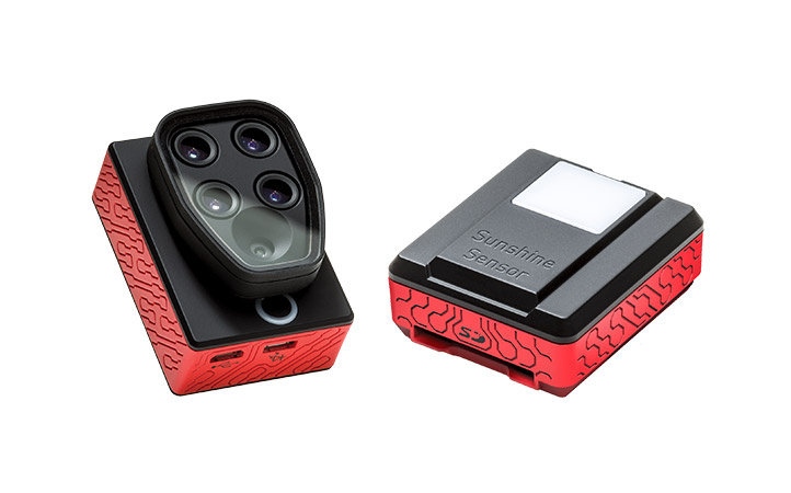
• The industry-leading Parrot Sequoia multispectral sensor and a 14 MP RGB front camera.
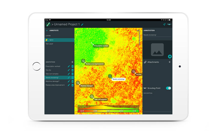
• The ParrotFields mobile app to simplify the entire workflow in the field (one year of subscription).
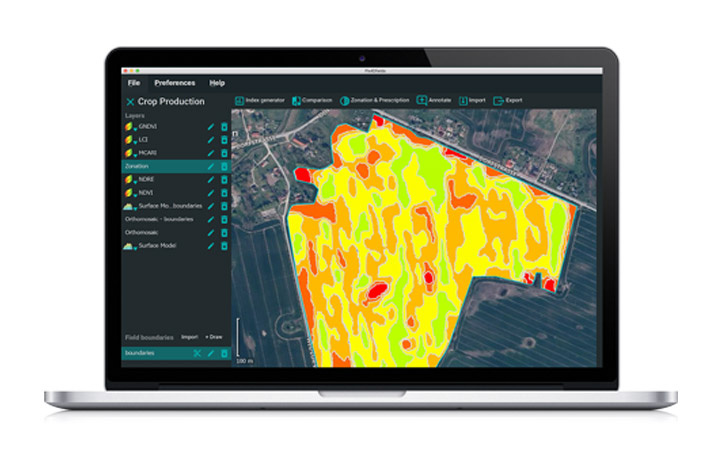
• Full access to Pix4DFields software, desktop and cloud, for advanced and detailed analysis of the information collected (one year subscription).
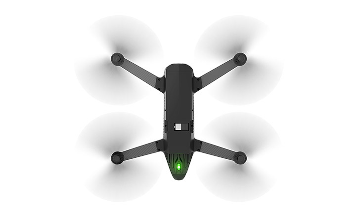
Quadcopter drone, effective, robust and easy to use
Parrot Bluegrass Fields is a robust and easy-to-use quadcopter drone designed for crop mapping and aerial inspections.
- It can cover large fields up to 65 ha at 122 m and can fly low for higher resolution up to 0.9 cm/px to 10 m, in single image.
- Vertical takeoff and landing (VTOL) ensures efficient operation, even in small areas.
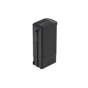
- Includes three batteries (25 minutes of battery flight) for extended flights with ease and confidence.
- With Parrot Bluegrass Field’s robust professional-grade carbon fiber structure, you can work in the toughest environments.
- The intuitive Parrot Skycontroller 2 adapts to the needs of each rider.


 Secure payment
 Shipping in 24/48h
 Technical advice