Micasense RedEdge P Blue
Product description
RedEdge-P- Blue
THE NEW SOLUTION FOR MULTISPECTRAL DATA AND HIGH-RESOLUTION RVA

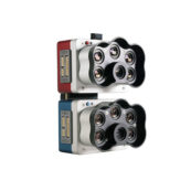
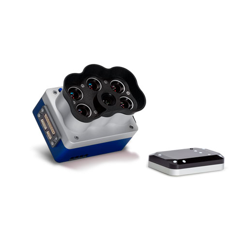
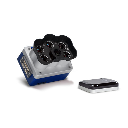
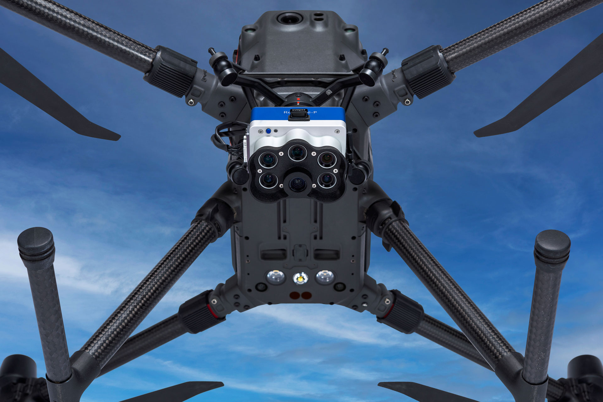
RedEdge-P Blue includes coastal blue, green, and three bands from the red and infrared spectrum.
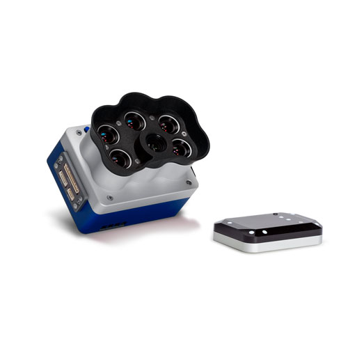
The ultimate solution for high-resolution RGB and multispectral data. A single camera captures synchronized, calibrated, high-resolution RGB and multispectral images with an optimized field of view and capture rate for efficient flight. It seamlessly integrates a high-resolution, full-color imager with multispectral imaging.


KEY FEATURES
INCREASED STORAGE
New removable storage standard in CFexpress, enabling more than 2 captures per second and instant turnaround between flights simply by swapping cards.
SYNCHRONIZED HIGH-RESOLUTION RVA AND MULTISPECTRAL CAPTURE
Simultaneous capture of up to six distinct spectral bands, enabling multiple high-resolution outputs such as RVA, crop vigor index (NDVI, NDRE, etc.), and high-resolution panchromatic data.
TWICE THE SPATIAL RESOLUTION OF THE PREVIOUS REDEDGE
With a high-resolution panchromatic camera, the RedEdge-P enables higher-resolution RVA and multispectral outputs—2 cm resolution when flying at 60 m. Detect minor issues or characteristics early and make more confident management decisions across a variety of use cases.
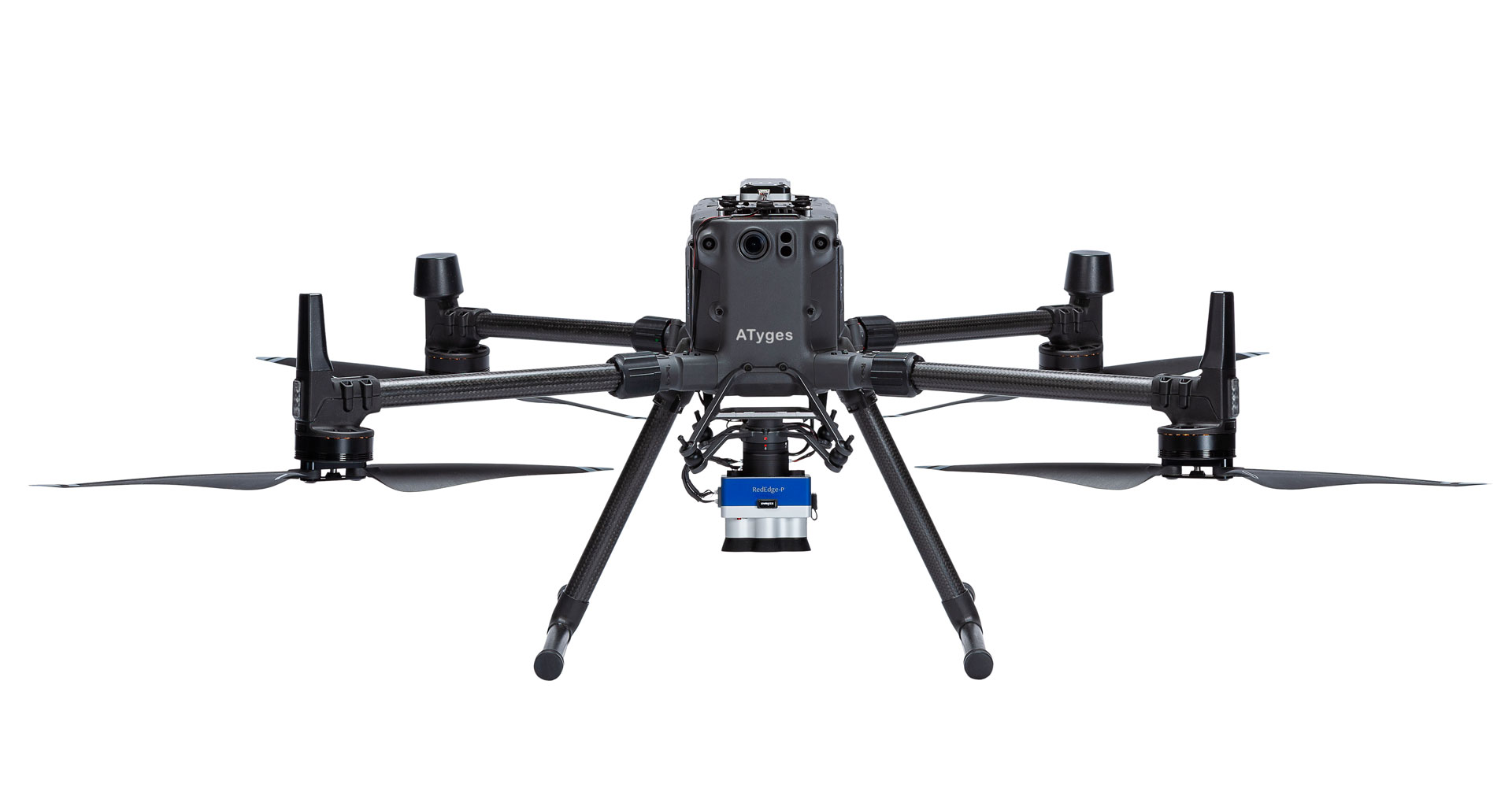
WORKS WITH WHAT YOU ALREADY HAVE (DRONES, PROCESSING, FLIGHT PLANNING)
This solution is compatible with a wide range of aircraft, from large fixed-wings to small multirotors. Flight planning and data processing can be done using industry-standard tools.
ROBUST DESIGN
IP4X rated for dust and splash immunity
THE SAME NARROW BANDS, WITH DOUBLE THE RESOLUTION
This solution offers a continuous way to capture not only standard spectral bands but also a spatial resolution that puts it a step ahead. With a high-resolution panchromatic camera, RedEdge-P enables higher-resolution AVR and multispectral outputs—2 cm resolution when flying at 60 m.
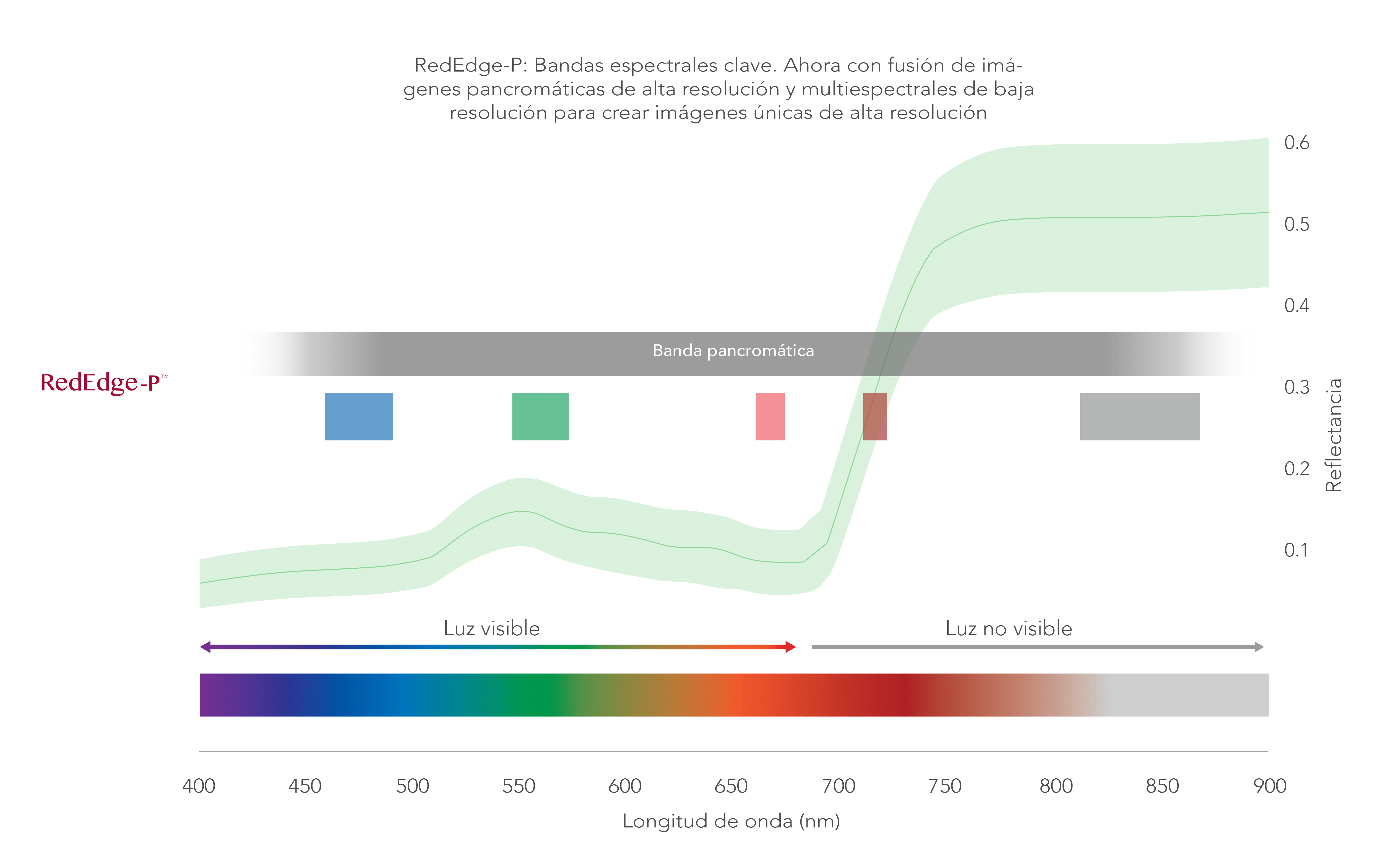
THE INDUSTRY STANDARD MULTISPECTRAL SENSOR
Provides a comprehensive view of plant health.
Analysis of vegetation in water bodies
Water surveys for chlorophyll efficiency assessment, vegetation analysis, and identification of algae or floating, submerged, and emergent plants.
Environmental monitoring
Coastal and nearshore mapping for water resource management, tidal zones, wetlands, and glacier monitoring.
Water management
Monitoring of public water supplies and water resource management.
Habitat monitoring, protection, and restoration
Erosion and biodiversity surveys, reef studies in shallow waters inaccessible to vessels and sensitive to human interaction.
Plant and weed identification
Vegetation health management and species identification, including the ability to differentiate and count plants, trees, invasive species, and weeds.
PRODUCTS THAT MAY INTEREST YOU
DJI Mavic 3M – Agro GPS Pack
Original price was: 6.727,00€.6.220,00€Current price is: 6.220,00€. price without VAT (-7.5%)
Zenmuse H30
From: 3.705,00€
Select options
This product has multiple variants. The options may be chosen on the product page
Zenmuse H30T
From: 9.955,00€
Select options
This product has multiple variants. The options may be chosen on the product page