PROMOTIONS AND OFFERS
Discounts on multiple DJI, EMLID and Pix4D products
 Secure payment
 Shipping in 24/48h
 Technical advice
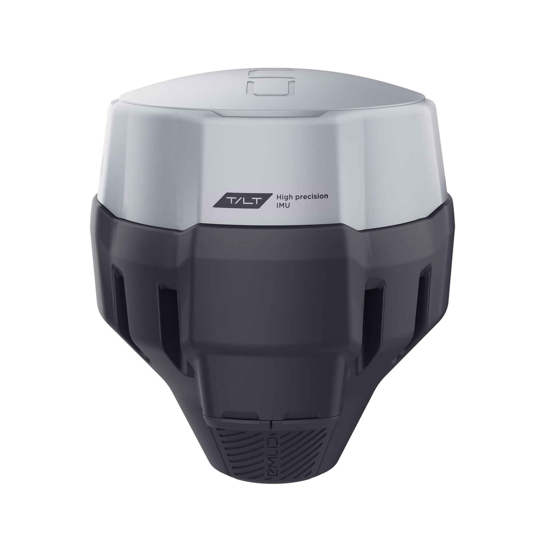
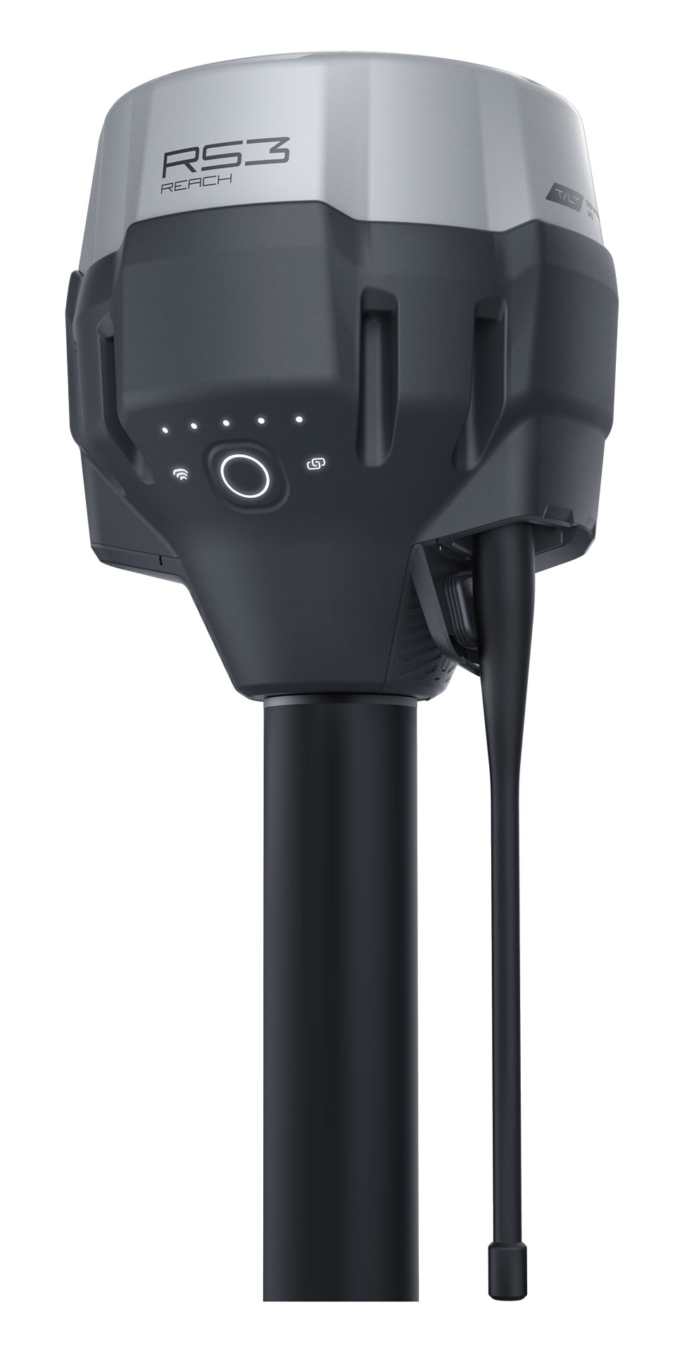
GPS Emlid Reach RS3
2.499,00€ price without VAT
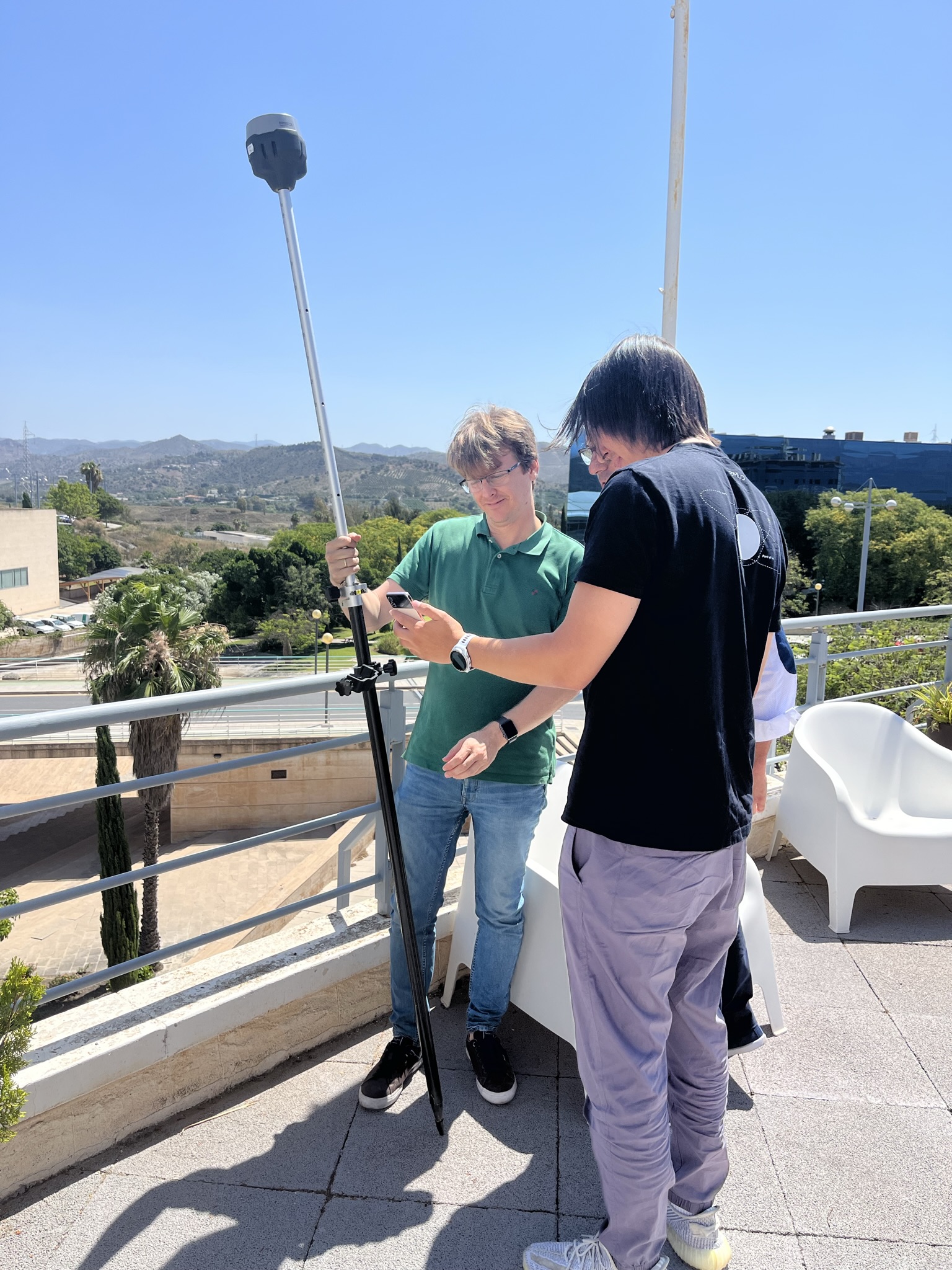
RTK GNSS receiver with tilt compensation
- Survey grade precision, even in hard-to-reach spots
- Multi-band base and rover
- IMU tilt compensation
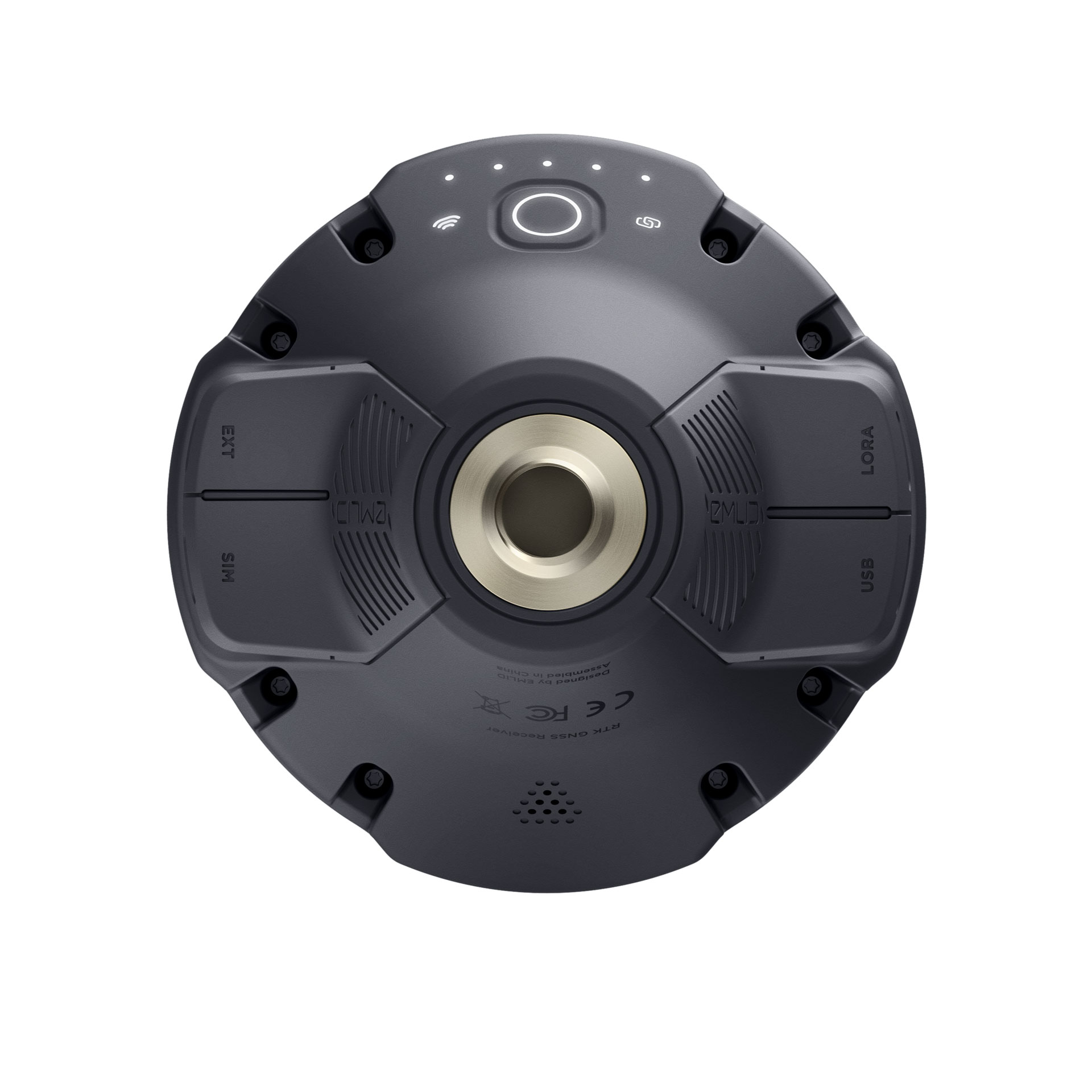
- LTE modem
- Dual-band radio
You may also like…
-
Sale!
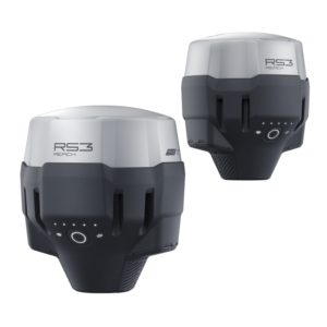
GPS Emlid Reach RS3 – Kit Survey (Base + Rover)
Original price was: 4.995,00€.4.500,00€Current price is: 4.500,00€. price without VAT (-9.9%) Add to cart -
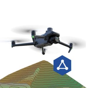
DJI Mavic 3E – Topography Bundle
3.825,00€ price without VAT Read more -
Sale!

TcpGPS Surveying Software for GPS
From: 495,00€ Select options This product has multiple variants. The options may be chosen on the product page -
Sale!
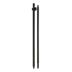
Carbon fiber survey pole
Original price was: 190,00€.130,00€Current price is: 130,00€. price without VAT (-31.6%) Add to cart -
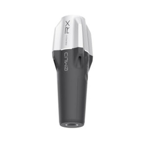
GPS Emlid Reach RX
1.799,00€ price without VAT Read more
Accurate results even with large tilt angles
The IMU-based tilt compensation in Reach RS3 enables you to make measurements with up to 60 degrees of tilt while still staying within 20 mm of accuracy.
Reach RS3 continuously measures and corrects tilt in real-time to keep you on target.
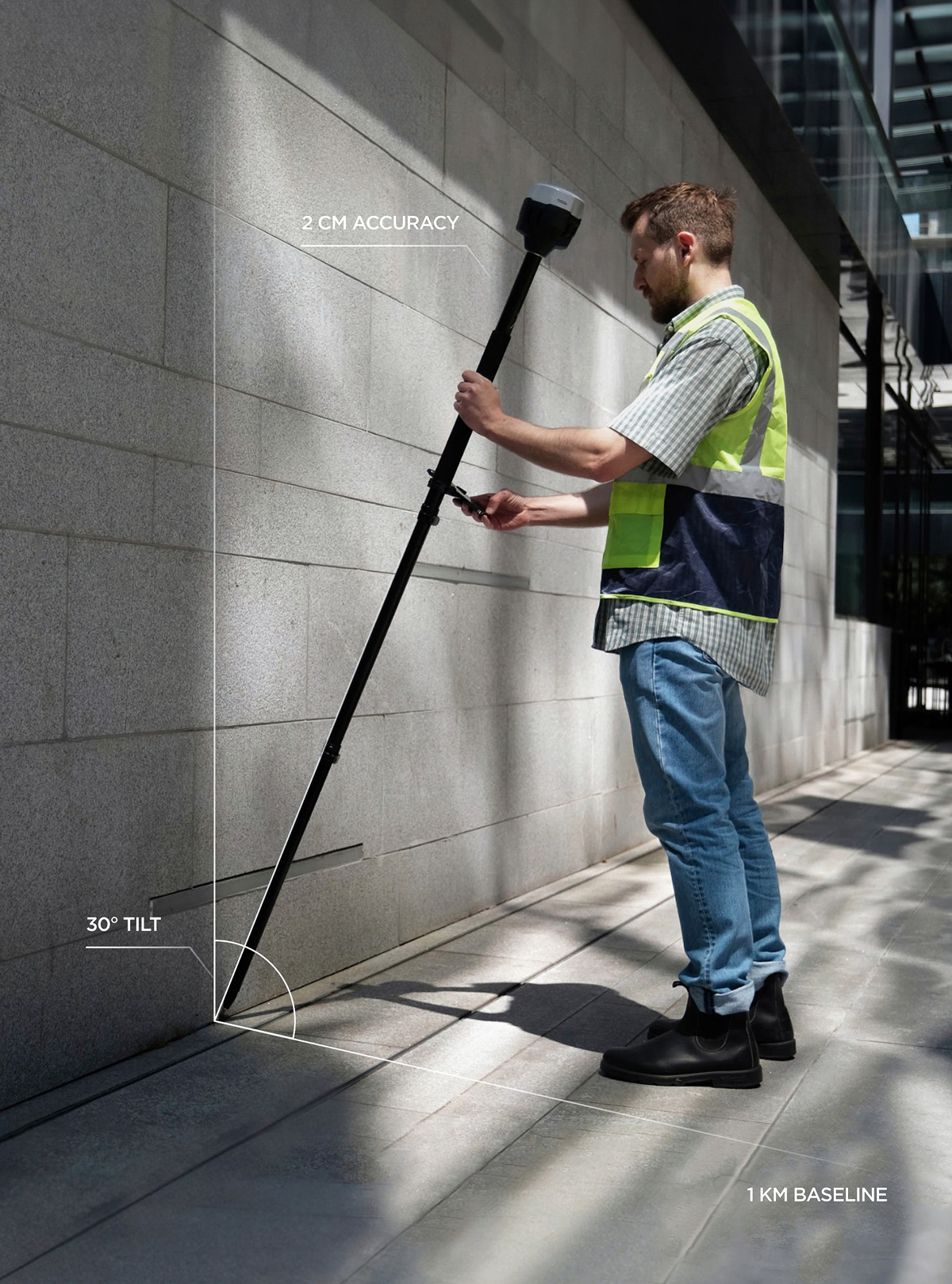
Survey and stakeout faster
No need to check the bubble
Effortless and robust
Tilt compensation
Calibration-free
We calibrate each unit individually at the factory, so you can get your Reach RS3 up and running right out of the box.
Immune to magnetic disturbances
Unaffected by magnetic fields, the RS3 provides robust tilt compensation even when working close to metal structures.
Quick initialization
Tilt initialization takes about 20 meters of walking or 10-20 seconds of tilting. Usually ready on the way from the car.
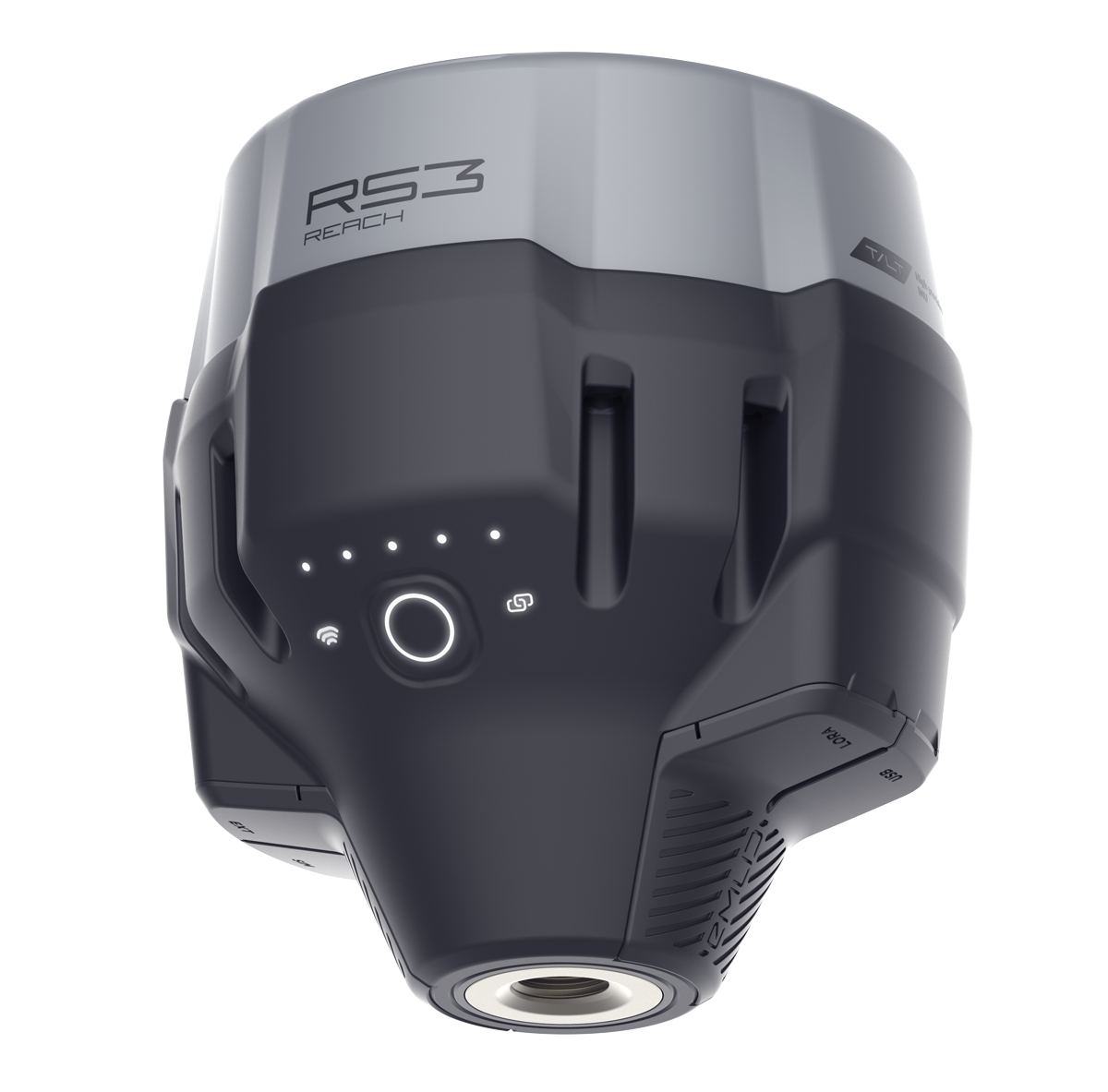
Rapid and Reliable GNSS receiver
Gets a fix in 5 seconds
Reach RS3 gets a centimeter-accurate solution in about 5 seconds. It maintains robust performance even when the sky view is partially obstructed, or the receiver itself is tilted.
- GPS/QZSS, GLONASS, BeiDou, and Galileo
- L1C/A, L2C, L1OF, L2OF, B1I, B2I, E1B/C, E5b
RINEX logging and PPP support
Record raw data in the RINEX format for post-processing. You can use free PPK software, Emlid Studio, or any other software that supports RINEX. Logs are also compatible with OPUS, AUSPOS, and PPP services, so you can get highly accurate results anywhere in the world.
- 16 GB storage
- 160+ days of logging at 1 Hz
Up to 22 hours on 1 charge
Reach RS3 comes equipped with a built-in, industrial-grade battery that can endure up to 22 hours of logging or 18 hours of working with tilt in RTK.
For uninterrupted multi-day operation, simply connect a power bank, just like you would with your mobile phone.
- Charging via USB-C
Built-in LTE modem
Insert a SIM card into your Reach RS3 and let it broadcast or receive corrections via NTRIP.
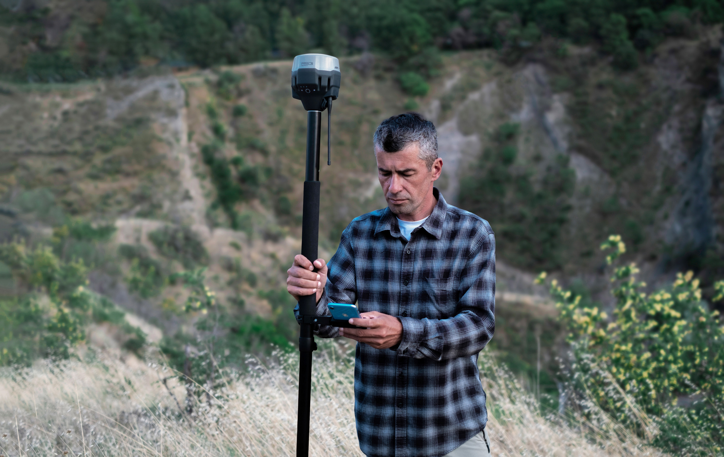
Get corrections from CORS, Reach, or 3rd-party base
NTRIP – Base and Rover
Work in RTK with VRS or a single baseline CORS network. You can also connect another GNSS receiver as an NTRIP base using Emlid NTRIP Caster.
Compatibility
Any receiver with RTCM3 support
Dual-band radio
LoRa 868/915 MHz Base and Rover
Perfect for areas with no internet coverage for NTRIP. LoRa is used when connecting Emlid receivers over the radio.
Compatibility
All Emlid receivers with built-in radios
UHF 450 MHz Rover
An option to mix and match RTK receivers within your fleet. You can configure your Reach RS3 to receive corrections from an existing base.
You can also use a high-power external radio on your Reach base and connect with the UHF radio receiver in Reach RS3.
Compatibility
Bases with radios that transmit TRIMTALK 450S
*TRIMTALK is a trademark of Trimble Inc.
Comes with software for the field and the office
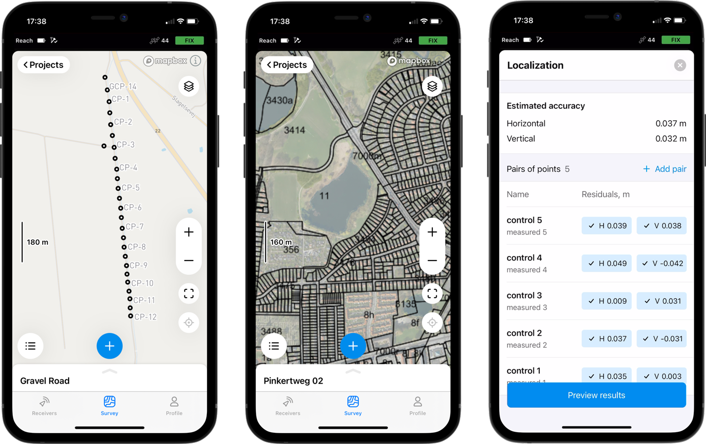
Emlid Flow
Emlid Flow efficiently manages all field-related tasks, including receiver configuration, RINEX logging, data collection, and stakeout.
For iOS and Android. The basic features are available for free to all users. Upgrade your Emlid Flow and Flow 360 with a single subscription.
- Tilt Compensation
- Data collection and stakeout
- Localization
- Coding
- Logging
- Background maps
- Base and rover setup
- Sync up to 3 devices
- Base shift
- CSV, DXF, SHP export and import
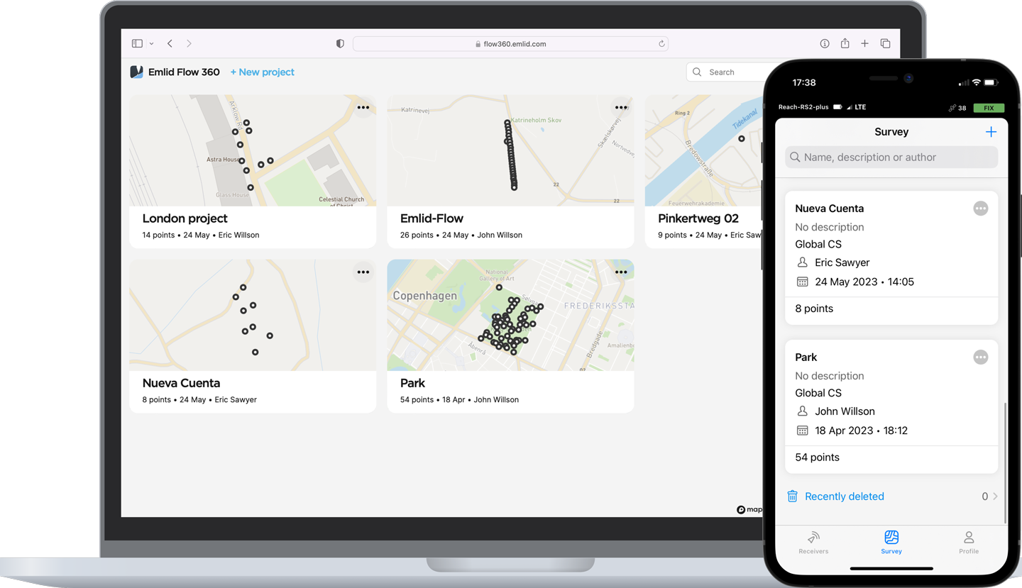
Emlid Flow 360
You can access your survey data via the cloud-based Emlid Flow 360, which allows you to prepare, manage, and export your projects from a browser.
The basic features are available for free to all users. Upgrade your Emlid Flow and Flow 360 with a single subscription.
- Add WMS/WMTS layers
- Satellite map
- Create custom survey codes libraries
- Export and import of survey data
- Project management and sync
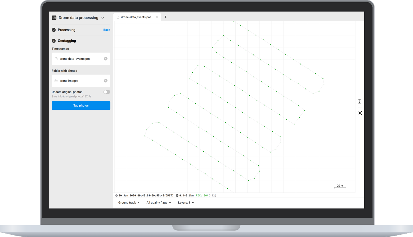
Emlid Studio
Free post-processing software for macOS and Windows.
Learn more about Emlid Studio here.
- Kinematic processing
- Static processing
- RTK Drone data processing
- Raw data analysis
- Stop & Go with Emlid Flow
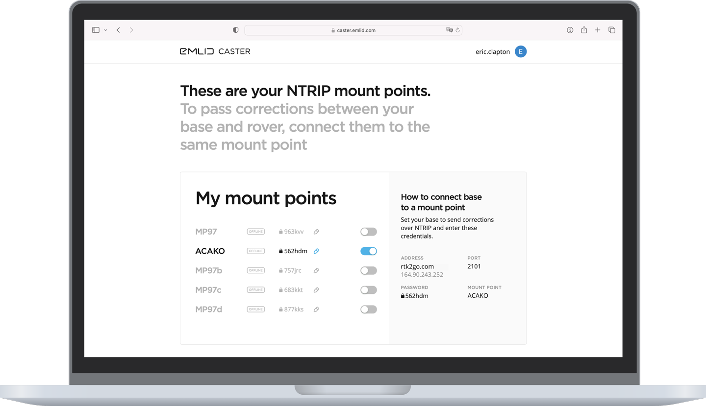
Emlid Caster
Connect up to 10 rovers to your base station via the internet or set up your own NTRIP network with Emlid Caster.
Learn more about Emlid Caster here.
- Available for free and works worldwide
- Works with Reach and other receivers with NTRIP support
- RTCM3 and other correction formats support
- Up to 5 bases and 10 rovers at the same time
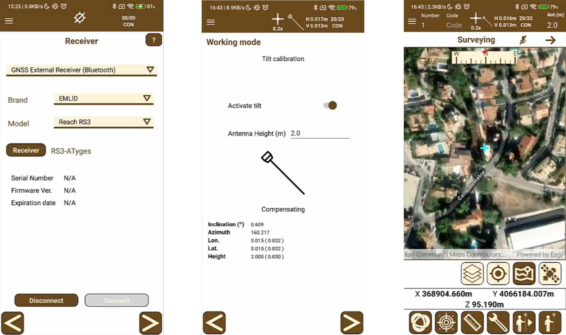
Third party applications: TcpGPS
It is compatible with third-party applications such as TcpGPS that allows you to perform measurements and stakeouts taking advantage of all the power of the Reach RS3 and the tilt compensation functionality.
Rugged and compact
- Dimensions: 126 x 126 x 142 mm
- Weigh: 950 g
IP67
RS3 is waterproof up to a one meter depth. Silicone plugs completely seal and protect all connectors from water and dust.
Industrial battery
The Reach RS3 Li-Ion battery handles high and low temperatures well and over 2000 cycles of charging and discharging while maintaining its original capacity.
While others are hot-swapping batteries, your Reach just keeps working.
20 to +65 ºС
We extensively tested Reach RS3 in conditions that simulate the coldest winters and hottest summers.
Impact-resistant
The body of the Reach RS3 is made of polycarbonate and coated with elastomer. The combination of these materials makes your Reach RS3 drop resistant and ready for the harshest conditions.
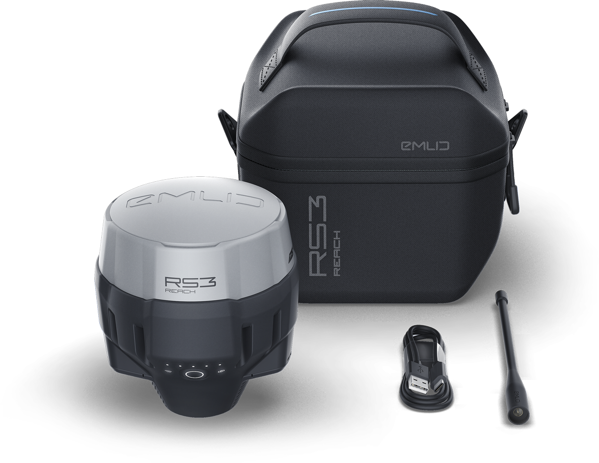
In the package
Reach RS3
LoRa/UHF antenna
USB cable
Carrying case with a strap
Technical specifications
Mechanical
- Dimensions 126 x 126 x 142 mm
- Weight 950 g
- Operating temperature -20 to + 65 ºC
- Ingress protection IP67
Electrical
- Autonomy 18 hrs as an RTK rover with tilt, 22 hrs of logging
- Battery Li-Ion 5200 mAh, 7.2 V 37.44 Wh
- Charging USB Type-C 5 V, 3 A
Positioning
- Static H: 4 mm + 0.5 ppm V: 8 mm + 1 ppm
- PPK H: 5 mm + 0.5 ppm V: 10 mm + 1 ppm
- RTK H: 7 mm + 1 ppm V: 14 mm + 1 ppm
- Tilt RTK + 2 mm + 0.3 mm/°
- Convergence time ~5 s typically
Connectivity
- Radio
- LoRa transmit and receive
- Frequency range 868/915 MHz
- Power 0.1 W
- Distance Up to 8 km
- UHF receive-only
- Frequency range 410–470 MHz
- Protocols TRIMTALK 450S*
- Modulation type GMSK
- LoRa transmit and receive
- LTE modem
- Regions Global
- BandsFDD-LTE: 1, 2, 3, 4, 5, 7, 8, 12, 13, 18, 19, 20, 26, 28, 66 TD-LTE: 38, 40, 41UMTS (WCDMA/FDD): 1, 3, 2, 4, 5, 6, 8, 19
Quad-band, 850/1900, 900/1800 MHz
- SIM card Nano-SIM
- Wi-Fi 802.11 b/g/n
- Bluetooth 4.0/2.1 EDR
- Ports RS-232, USB Type-C
*TRIMTALK is a trademark of Trimble Inc.
Data
- Corrections NTRIP, RTCM3
- Position output NMEA, LLH/XYZ
- Data logging RINEX, NMEA, LLH/XYZ, UBX
- Internal storage 16 GB160+ days of logging at 1 Hz
GNSS
- Signal tracked GPS/QZSS L1C/A, L2C, GLONASS L1OF, L2OF, BeiDou B1I, B2I, Galileo E1B/C, E5b
- Update rates up to 10 Hz
- Number of channels 184
- IMU 6DOF


