ZWCAD 2026 Profesional + TcpMDT V26 – Pack
From: 990,00€
Select options
This product has multiple variants. The options may be chosen on the product page

From: 490,00€
TcpMDT 26 is software for performing surveys, digital terrain models, contour lines, profiles and volumes using CAD tools.TcpMDT 26 es un software para realizar levantamientos, modelos digitales del terreno, curvas de nivel, perfiles y volúmenes en mediante herramientas CAD.
You can model a terrain using points taken by any total station or GPS, generate contour lines, obtain longitudinal and transverse profiles, calculate volumes, and visualize the terrain in 3D. It also has functions for working with parcels and many additional utilities.
TcpMDT is available in two software versions: TcpMDT Standard and TcpMDT Professional; and can be purchased together with three modules to suit your needs:


A complete professional topographic software for generating surveys and CAD plans.
TcpMDT is ideal for carrying out all types of topographic projects, modeling the terrain, drawing terrain profiles, calculating volumes and visualizing the terrain in 3D.
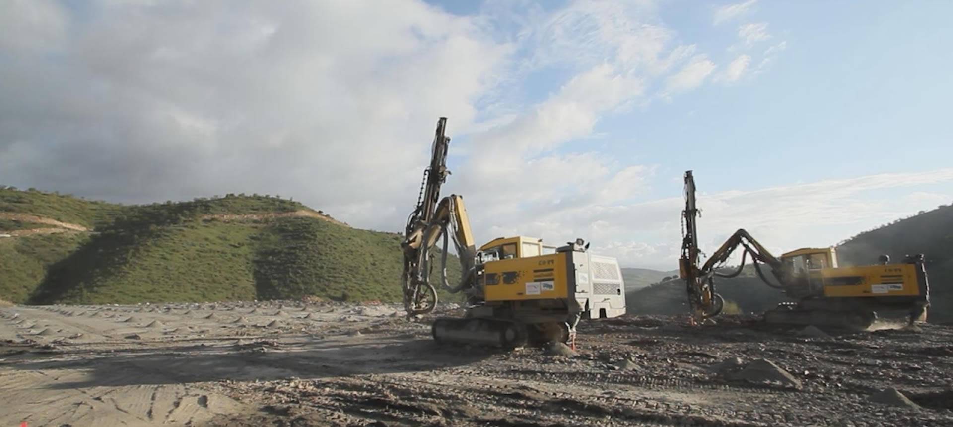
Its main users are public administrations, construction companies, engineering, architecture, urban planning studios and companies dedicated to earthmoving, quarrying, mining, environment, as well as independent professionals.
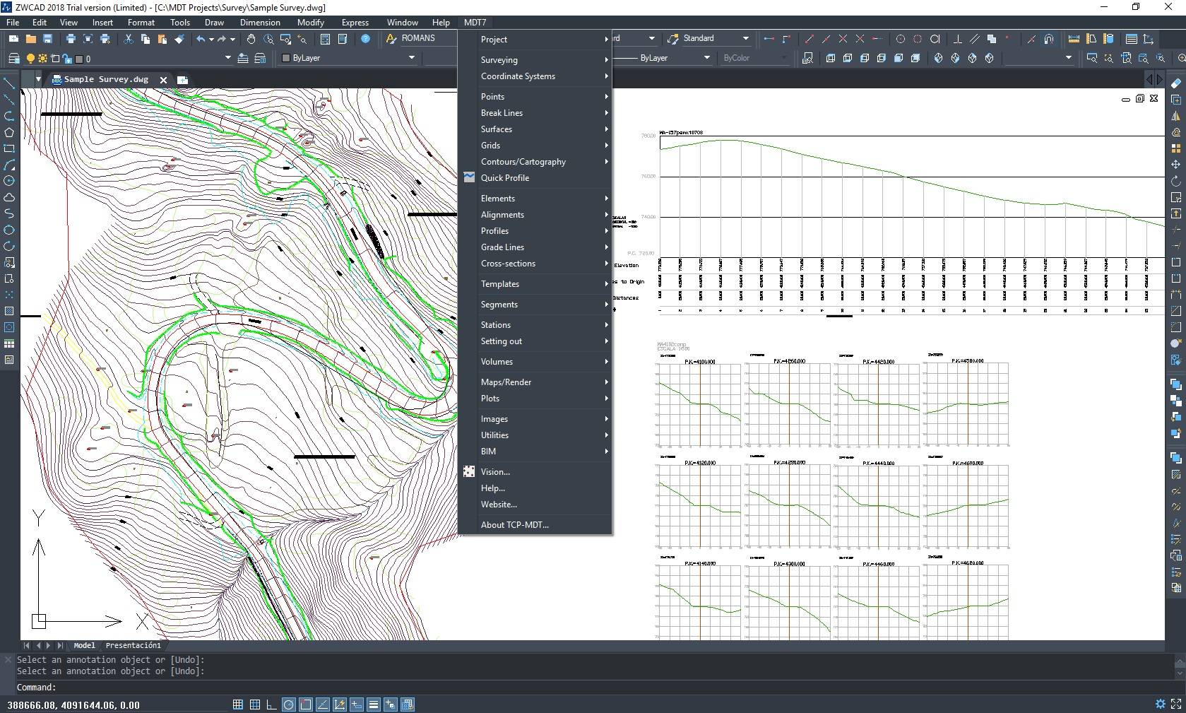
The survey is automatically drawn from a file of point coordinates obtained from any total station or GNSS receiver. This data is used to generate a surface or grid, as well as contour lines.
The TcpMDT program allows you to define horizontal alignments through interactive drawing or from a polyline, allowing you to obtain and draw longitudinal and transverse profiles of the terrain from the surface, mesh, 3D cartographic drawings or topographic drawings in general.
Earthwork volumes are also calculated by the difference in meshes or cross-sectional profiles.
It has multiple commands, including those for:
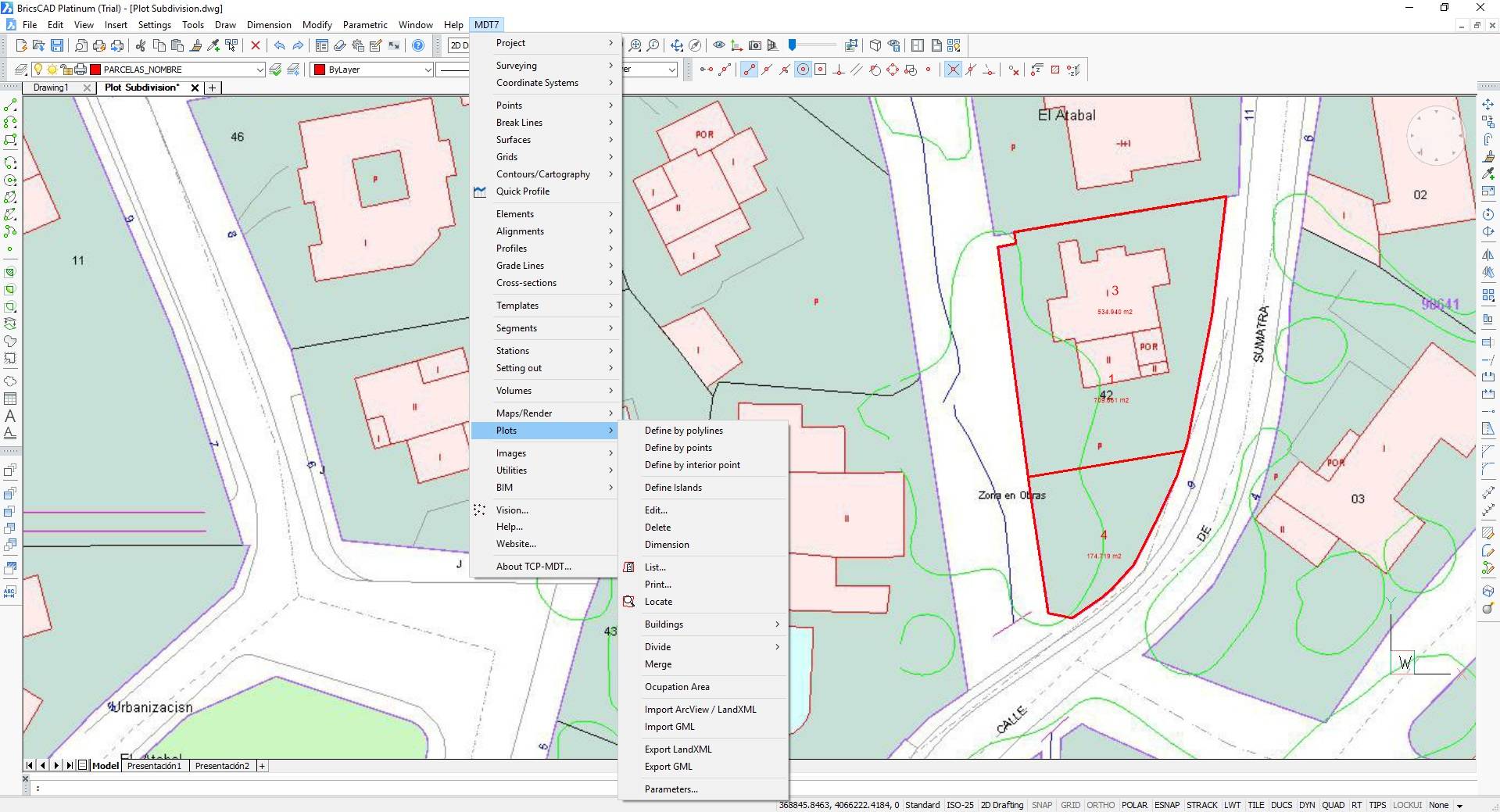
– division of plots,
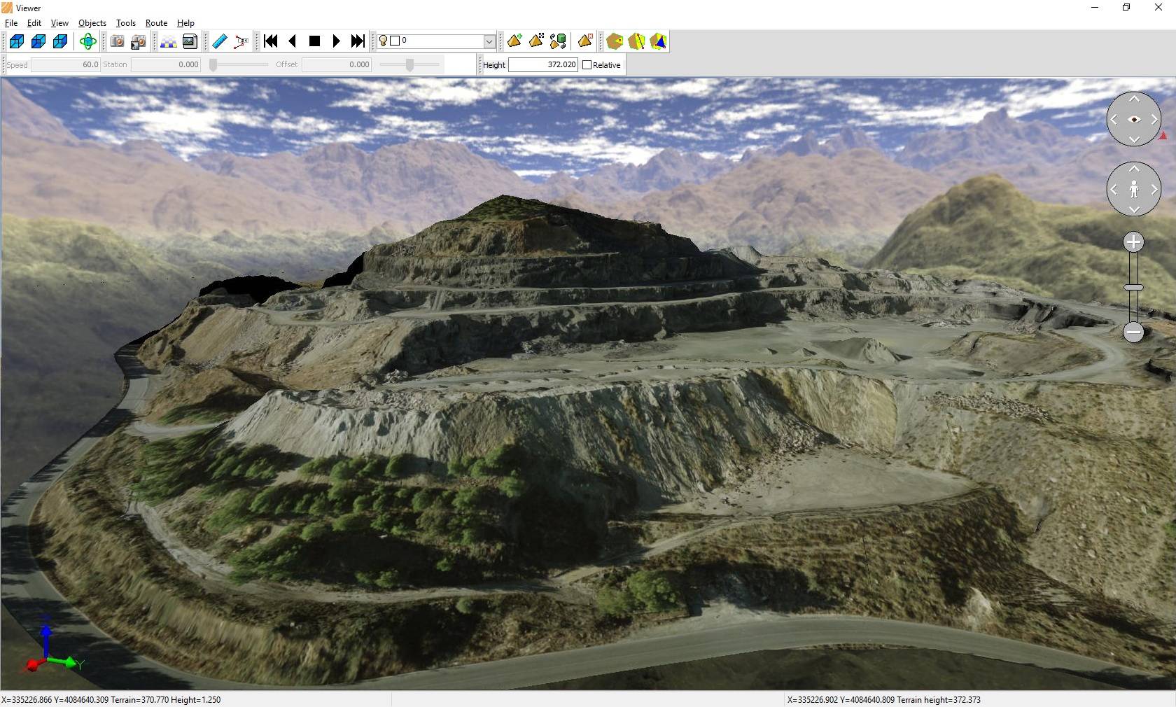
– terrain visualization,
– assignment of textures and orthophotos,
– video generation,
– Export to Google Earth or SketchUp and multiple additional utilities.
It installs as a plugin for AutoCAD, BricsCAD, or ZWCAD. It offers a powerful, easy-to-learn set of tools and has a modular structure.
It demonstrates great versatility through the import and export of files in the most common formats on the market, such as LandXML, DWG and many more.
This application is developed by APLITOP, a pioneering company in the integration of topographic and road data into OpenBIM workflows, through the IFC format and its extensions IFC Alignment and IFC Road.
The companies APLITOP and ATyges have collaborated on R&D projects to improve their products.
From: 990,00€
From: 438,75€
From: 495,00€