PROMOTIONS AND OFFERS
Discounts on multiple DJI, EMLID and Pix4D products
 Secure payment
 Shipping in 24/48h
 Technical advice
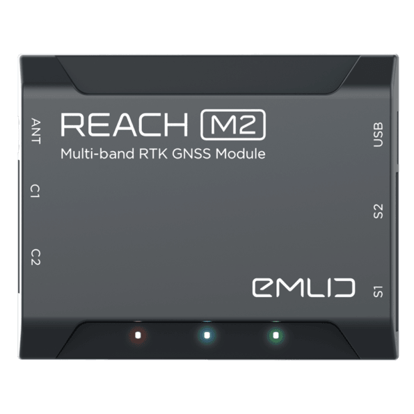
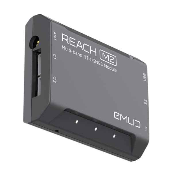
GPS Reach M2
From: 649,00€
RTK GNSS module for precise navigation and UAV mapping without GCP
RTK positioning for navigation
Reach calculate real-time coordinates with centimeter accuracy and streams them in NMEA or binary format to your device over UART, Bluetooh or WiFi.
PPK for UAV mapping
Reach module logs precise tracks and the exact moment when each photo is taken.
Why camera synchronization is so important?
Usually autopilot triggers the camera and records the coordinate it has at the moment. When the drone is flying at 20m/s and GPS works at 5Hz, that means your autopilot will have position readings only each 4m. While enough for navigation such readings are not suitable for precise georeferencing. Also, there is always a delay between the trigger and the actual moment the photo is taken.
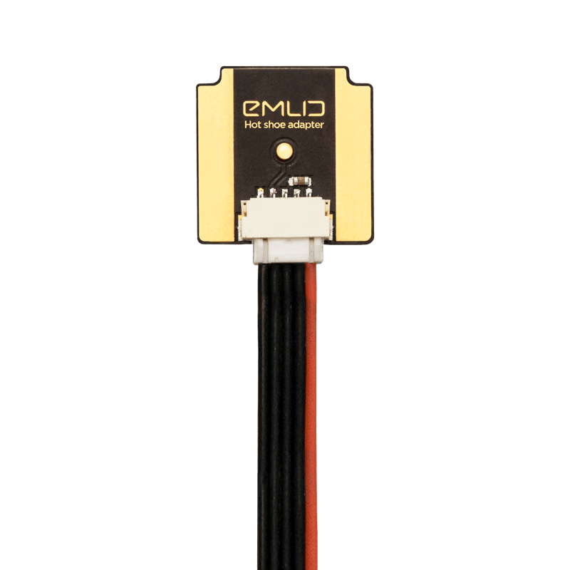
Reach module solves this by directly connecting to the camera hot shoe port which is synced to the shutter. The time of each photo is logged with a resolution of less than a microsecond.
ReachView app
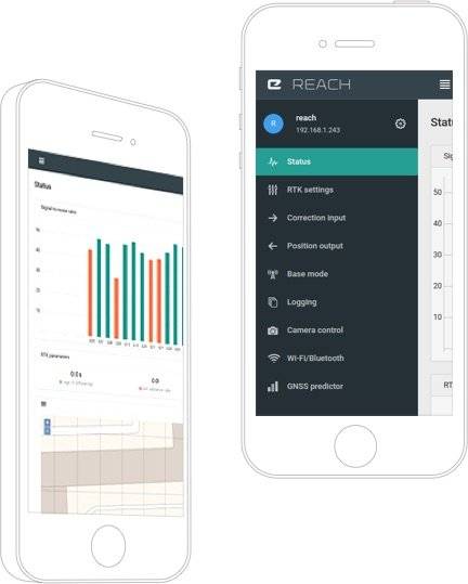
Helps with your setup
Easily configure correction input, solution output, update rate and satellite systems in use. Manage WiFi and Bluetooh conections.
Provides monitoring data
ReachView shows current satellite signal strength, constelation visibility forecast, your location on a map and much more.
Simple logs management
Logs are automatically recorder in internal memory. View a list of the logs and download them using the ReachView app.
Package includes:
— Reach M+
— USB cable
— USB-OTG cable
— JST-GH 6-pin to jumper pin cable
— JST-GH 5-pin to jumper pin cable
Optional:
- Multi-GNSS antenna
- Camera hot shoe adapter
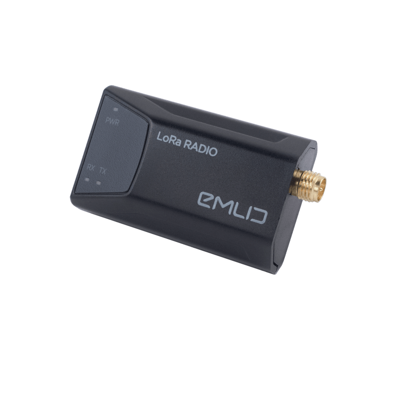
- LoRa radio


