PROMOTIONS AND OFFERS
Discounts on multiple DJI, EMLID and Pix4D products
 Secure payment
 Shipping in 24/48h
 Technical advice
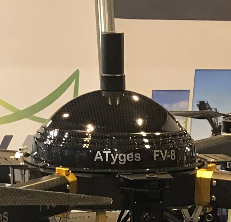
GNSS L1/L2 PPK/RTK ATyges GPS Module
5.500,00€ price without VAT
Kit GPS GNSS ATyges PPK RTK
Included:
- GNSS ATyges PPK/RTK module with l1/L2 multiconstellation antenna
- ATygeo post-process and control software
GNSS L1/L2 PPK/RTK GPS module for drones compatible with fixed-wing and multi-rotor equipment. Designed by ATyges.
GNSS L1/L2 PPK/RTK GPS module includes advanced GNNS receiver, multifrequency antenna and software.
Includes ATygeo software module for automatic post-processing with external database data.
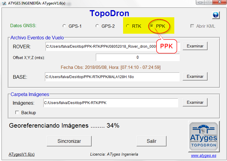
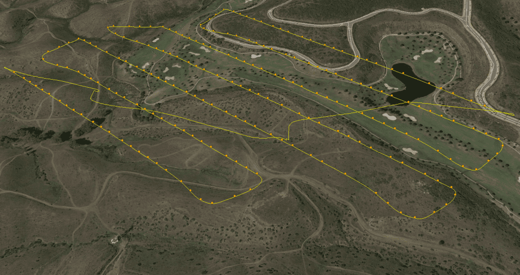
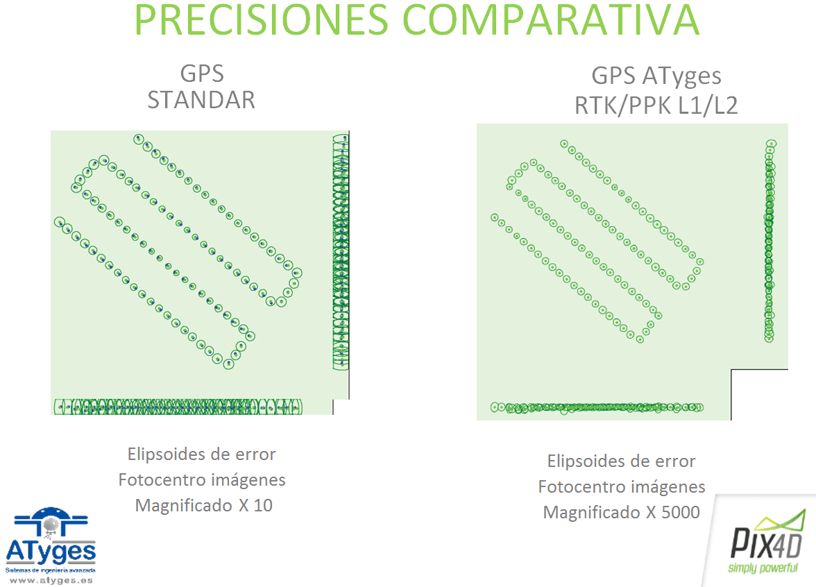
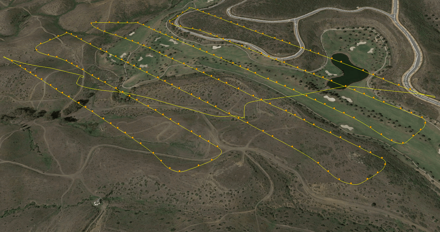
All images provided to ATygeo are geo-ferenced in their metadata with all the information necessary to be processed by photogrammetry software (such as PIX4D, etc.) including the position, absolute height, reference system used and individual accuracy of each image.
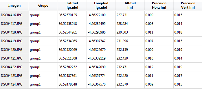
Check the results obtained:
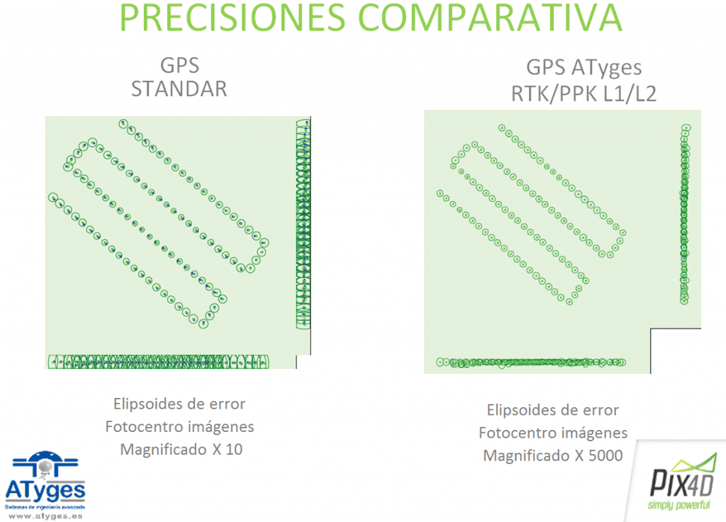
Download sample file validation of PpK ATyges results


