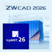
ZWCAD 2026 Profesional + TcpMDT V26 – Pack
From: 990,00€
Select options
This product has multiple variants. The options may be chosen on the product page
From: 495,00€
TcpGPS Topographic Software for GPS Devices is a complete solution for surveys and rethinks with GNSS receivers
It is suitable for mobile devices that allows you to perform the most advanced functions that any surveying professional needs to perform in the field.
The TcpGPS Basic version is oriented for standard users and the Advanced version is oriented to road projects and corridors with specific functionalities.
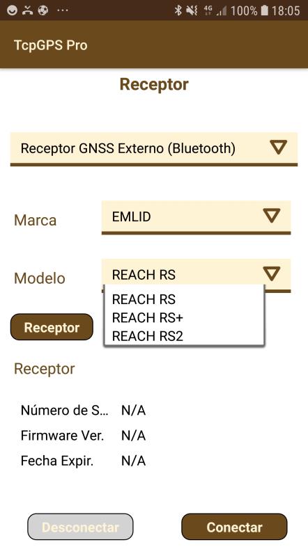
100% compatible with EMLID RS2, RS+ and RS GPS receivers
TCP-GPS operation video with EMLID Reach equipment


TcpGPS Topographic Software for GPS is an application that allows the user to make measurements and rethinks with a wide range of GNSS receivers.
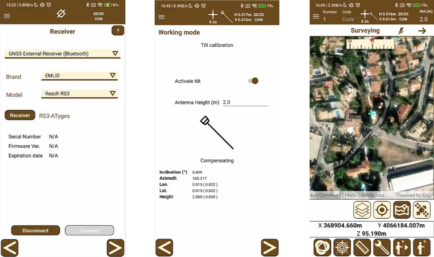
The TcpGPS is compatible with GNSS Reach RS3 and Reach RS2+ equipment giving you excellent additional features and complementing the functionality of these receivers.
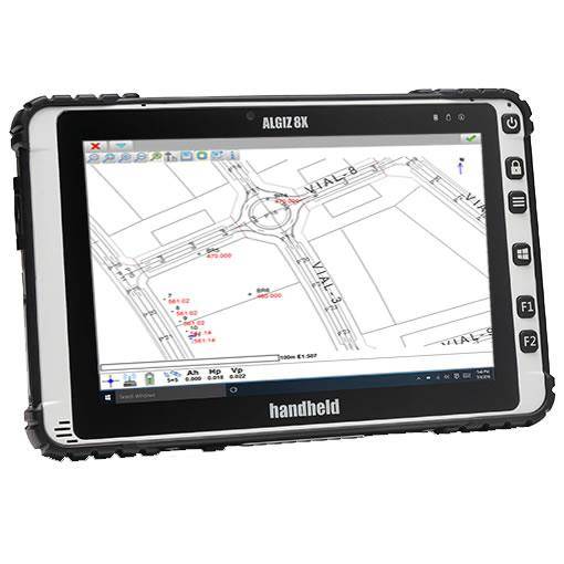
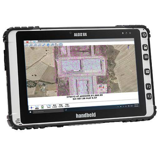
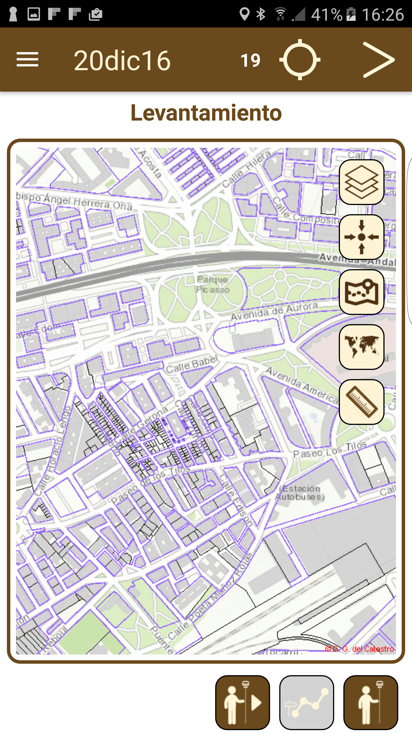
The program has multiple options for surveys and rethinks of plots, plots and corridors, using ESRI basemaps, or orthophotos, mapping and map web services.
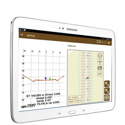
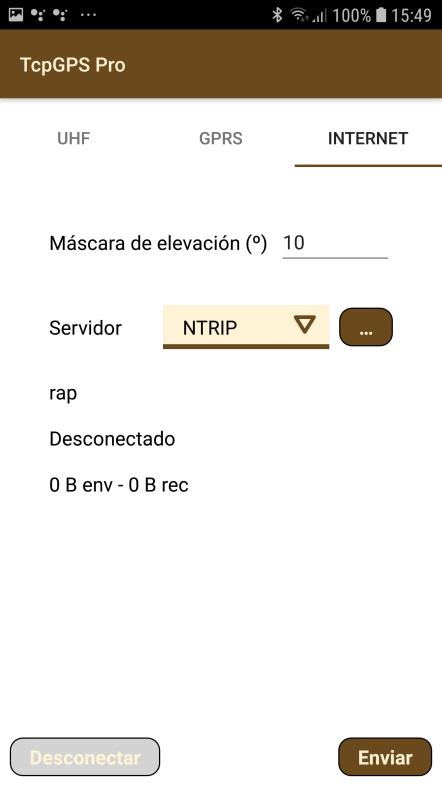
Here are some screenshots:
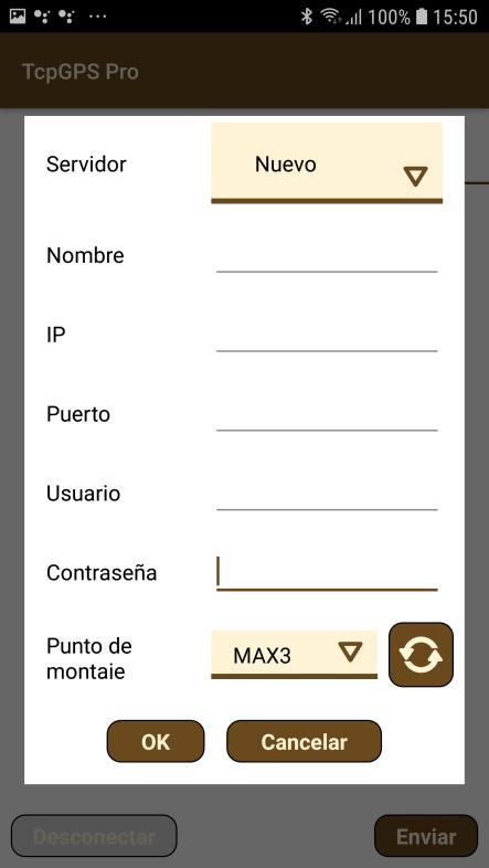
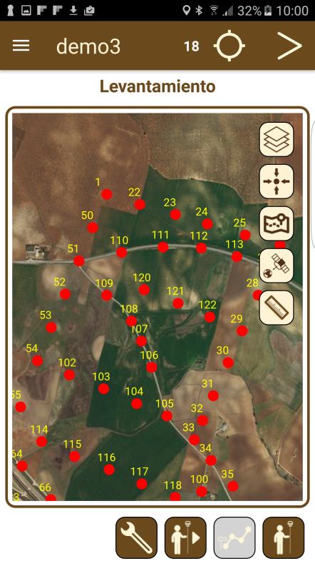
It includes Tilt compensation functionality with the EMLID Reach RS3 model taking advantage of the functionality of this device.
Las aplicaciones trabajan sobre los sistemas operativos Windows, Android, con diferentes módulos y funcionalidades.
The applications work on Windows, Android operating systems, with different modules and functionalities.
See EMLID’s official forum link on this product: TcpGPS application link in official EMLID support forum
ESRI basemaps with world coverage are used, which can be viewed in street, satellite or topographic mode. They can also be loaded as background mapping in DXF or shape formats and web map services (WMS) from official data sources.
The program includes the EPSG database of geodesic systems, being able to work with different coordinate reference systems organized by countries, and local systems can also be defined.
The application makes it very easy to survey topographical points, being able to associate photos, voice notes and optional codes.
Continuous mode allows you to record points automatically, specifying a distance or time interval.
Gross points and data can be exported to various
formats, and all information automatically synced to Google Drive.
The points or lines to be rethought can be selected graphically or selected by various criteria. The app offers different help modes, such as map, compass, target and augmented reality.
You can also turn on voice prompts or sounds.
From: 990,00€
From: 438,75€
From: 3.200,00€
From: 490,00€
From: 649,00€